en
wishlist
login
mail

contact us

Cartography

Hiking maps, maps and atlases, cartography around the world. Maps of the trails, cartography for cyclotourism and mountain biking

Mountain

Alpine guides, hiking guides, technical manuals for summer and winter mountaineering. Mountain literature and filmography

Sea

Nautical manuals, nautical cartography, books and literature for sailboat and motor

Travels

Travel guides and travel literature for Italy, Europe and the rest of the world

Military

Collection of the best publications (books and DVDs) on the mountain war on the Alps and the rest of Italy and Europe
back
-5%
02 Tignes, Val d'Isere, Vallées du Grand Paradis
L'escursionista | Cartografia Alpi | Rimini | 2017 | pagine 32 | 12 x 17 | 1:25.000

02 Tignes, Val d'Isere, Vallées du Grand Paradis

GPS compatibile

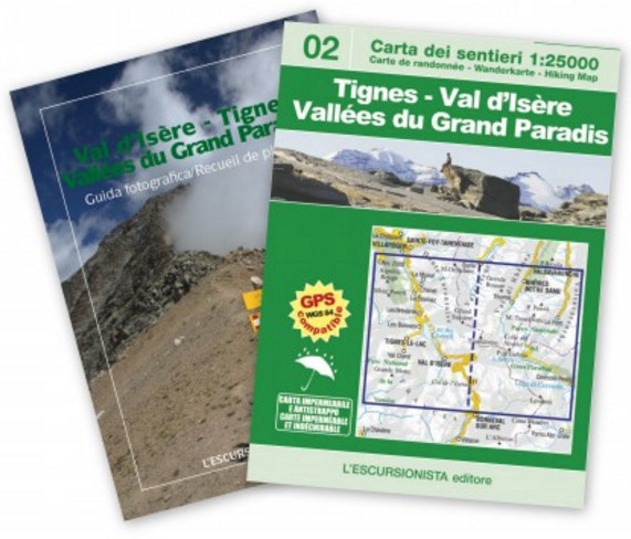
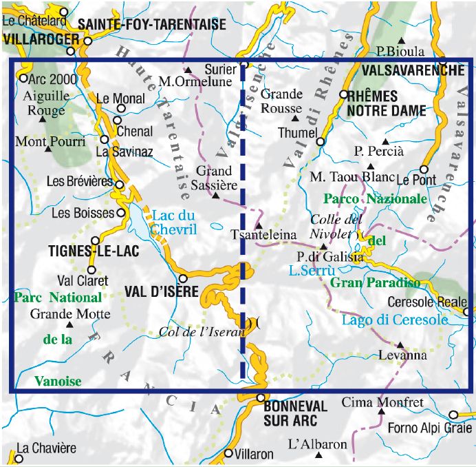
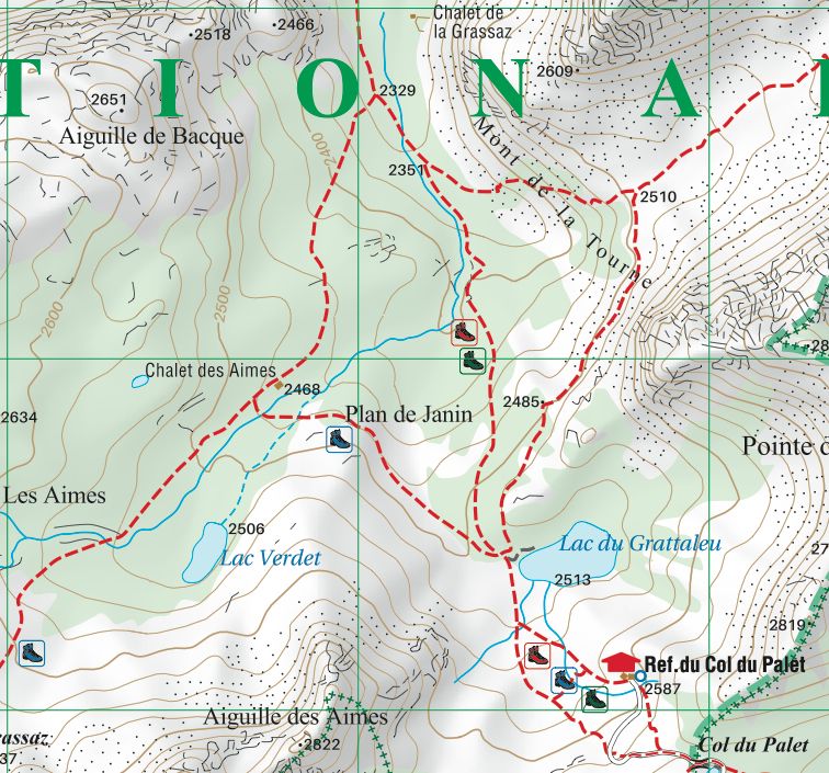
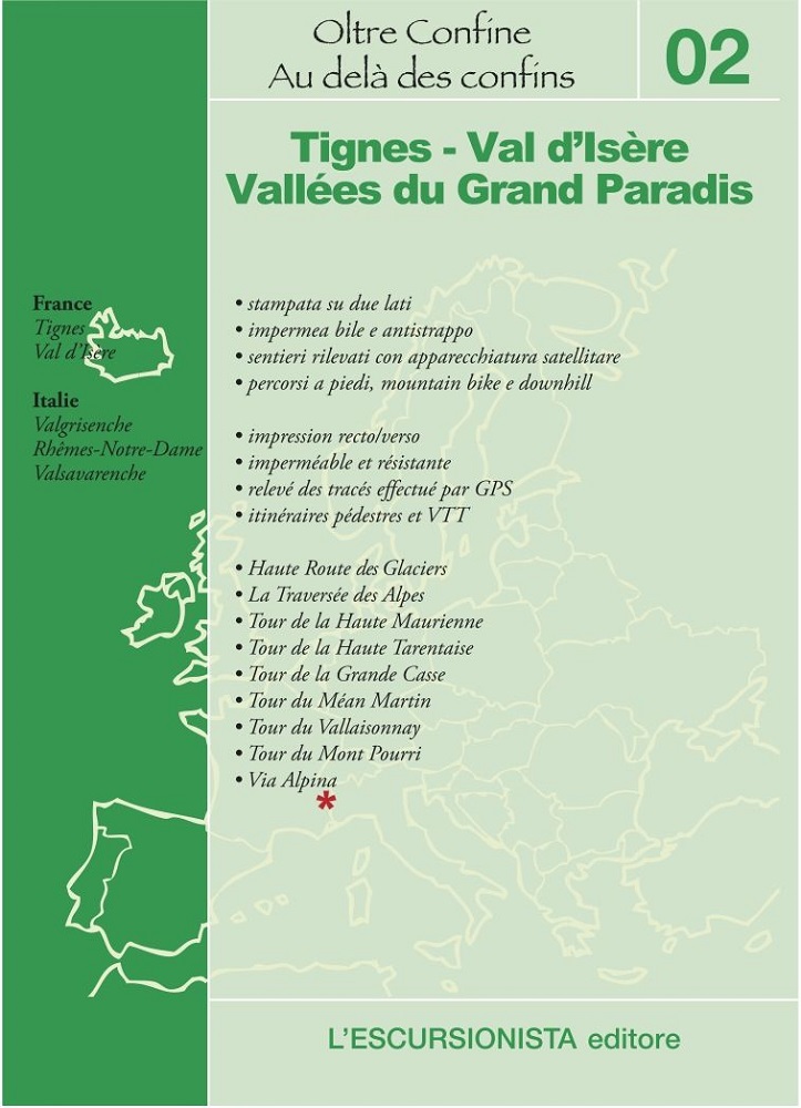
Carta escursionistica n°02 della collana transfrontaliera Italia/Francia. Copre l'area delle alte Valgrisenche, Val di Rhêmes e Valsavarenche (Valle d'Aosta), Valle dell'Orco (Piemonte), i comuni di Tignes e Val d'Isère (Haute Tarentaise), spingendosi sino alle porte dell'abitato di Bonneval-sur-Arc (Haute Maurienne) e Les Lanches (nella valle di Nancroix-Pesey. Con percorsi a piedi e in mountain bike segnalati, oltre a tutta la sentieristica minore.
Stampata su carta impermeabile e antistrappo, con rilevamento satellitari dei sentieri tramite GPS.

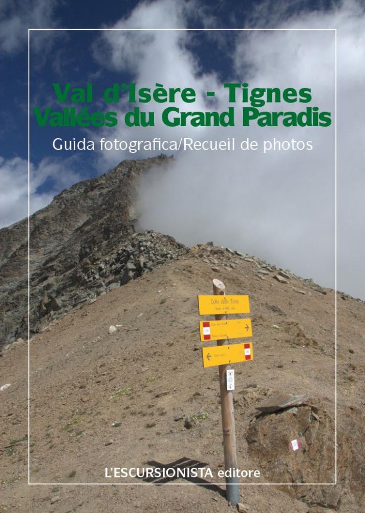
Confezionata in busta di plastica con guida fotografica di 32 pagine.

Lingue Guida/Cartoguida: Italiano, Francese

Lingue Cartina: Italiano, Inglese, Francese, Tedesco


add to wish list
€ 11.40
instead of € 12.00
quantity
- 1 +
ship to :: Italia
Corriere espresso € 5.50
availability
available
add to cart