


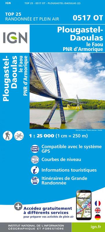
L'indispensable carte de randonnée IGN 0517OT. D'une très grande précision elle contient tous les détails existant sur le terrain : voies de communication et sentiers, constructions y compris les hangars, bois, arbres isolés, rivièress, sources. Sans oublier la représentation du relief par des courbes de niveau. Les sentiers balisés et les informations touristiques sont également représentés.
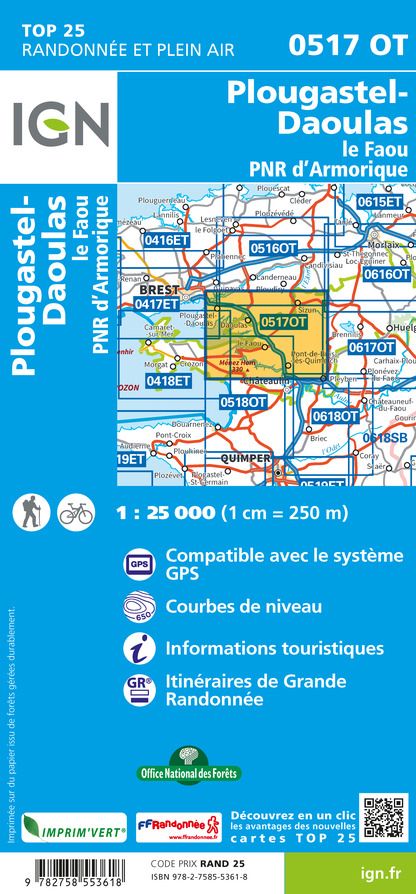
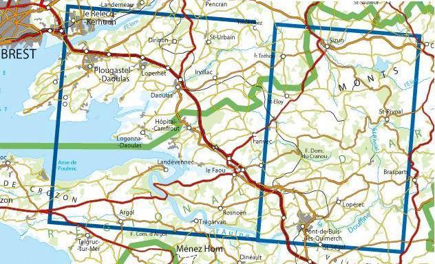
Communes couvertes : Sizun, Saint-Rivoal, Le Faou, Daoulas, Hôpital-Camfrout, Lopérec, Landévennec, Le Tréhou, Saint-Urbain, Plougastel, Daoulas, Logonna, Daoulas, Irvillac, Hanvec, Loperhet, Dirinon, Dinéault, Saint-Ségal, Saint-Nic, Rosnoën, Telgruc-sur-Mer, Pont-de-Buis-lès-Quimerch, Argol, Sain
Lieux à découvrir : Parc naturel régional d'Armorique,Anse de Poulmic,Forêt Communale d'Argol, Forêt Domaniale du Cranou,Ménez Hom, Vallée de l'Aulne, Monts d'Arrée, Presqu'île de Crozon,St-Guénolé, Ossuaire, Calvaire, Pont A. Louppe, Maison de la Rivière, Musée de la fraise et du patrimoine, Calvaire, Domaine de Menez Meur.