


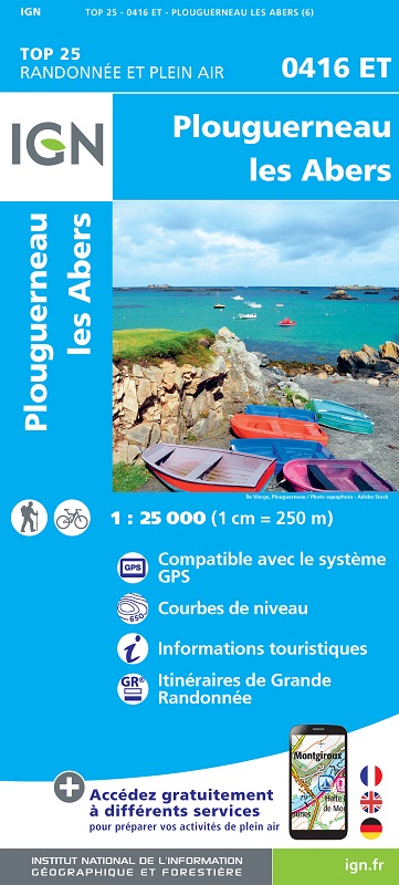
L'indispensable carte de randonnée IGN 0416ET. D'une très grande précision elle contient tous les détails existant sur le terrain : voies de communication et sentiers, constructions y compris les hangars, bois, arbres isolés, rivièress, sources. Sans oublier la représentation du relief par des courbes de niveau. Les sentiers balisés et les informations touristiques sont également représentés.
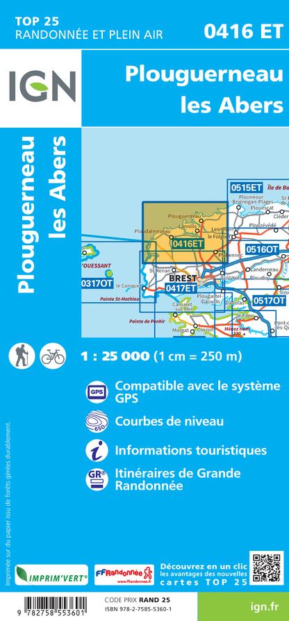
Communes couvertes : Plouguerneau, Lanildut, Coat-Méal, Lampaul-Ploudalmézeau, Saint-Pabu, Le Drennec, Plouguin, Lanrivoaré, Tréglonou, Brélès, Landéda, Bourg-Blanc, Plourin, Plouvien, Landunvez, Loc-Brévalaire, Lannilis, Ploudalmézeau, Lampaul-Plouarzel, Porspoder, Plabennec, Gu
Lieux à découvrir : Parc naturel régional d’Armorique, Passage du Fromveur, Presqu'Île Ste-Marguerite, Île Vierge, Pointe de Landunvez, Manoir de Bel-air, Menhir de Kervignen, Phare de l'Île Vierge, Château de Kerouartz, Iliz Koz Tremenec'h, Phare de Aber Ildut