


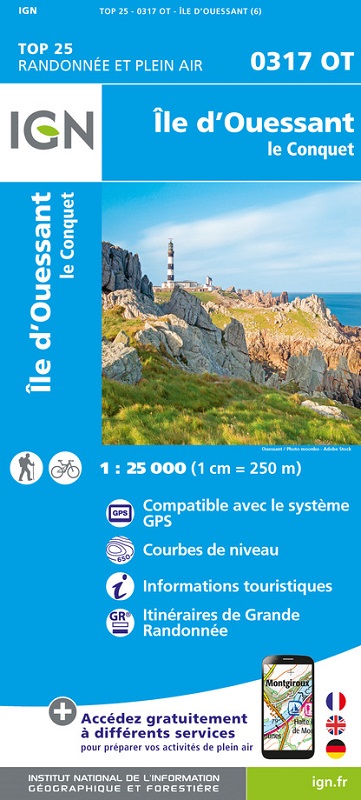
L'indispensable carte de randonnée IGN 0317OT. D'une très grande précision elle contient tous les détails existant sur le terrain : voies de communication et sentiers, constructions y compris les hangars, bois, arbres isolés, rivièress, sources. Sans oublier la représentation du relief par des courbes de niveau. Les sentiers balisés et les informations touristiques sont également représentés.
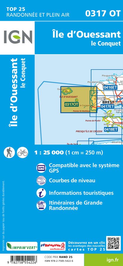
Communes couvertes : Ile-Molene, Lampaul-Plouarzel, Lanildut, Ouessant, Porspoder, Trebabu
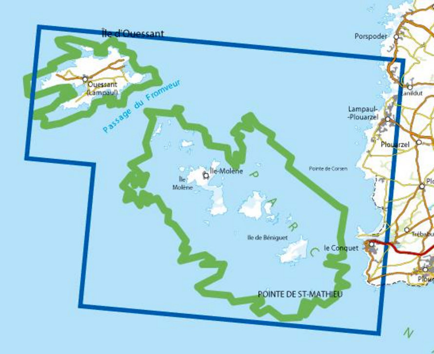
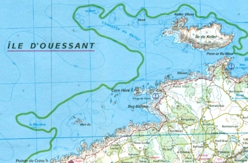
Lieux à découvrir : Parc Naturel régional d’Armorique, Passage du Fromveur, Ile Molene, Ile de Beniguet, Pointe St-Matthieu, Pointe de Corsen, Ile d'Ouessant, Phare de la Jument, Phare de Trezien, Phare du Stiff, Abbaye, Reserve Naturelle d'Iroise, Phare de Creac'h, Notre-Dame de Bon Voyage, Phare de Aber Ildut