


contact us
Le carte escursionistiche Geo4Map sono realizzate in scala 1:25.000 la migliore per seguire sentieri e itinerari nella natura montana.
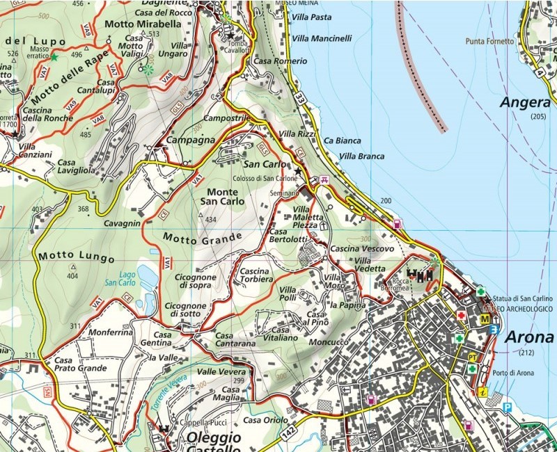
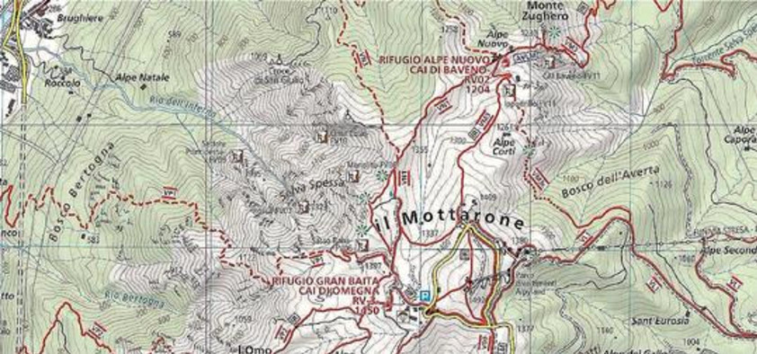
Le curve di livello a 20 metri, i particolari rocciosi disegnati a mano, i colori e i simboli sono solo alcune delle caratteristiche che permettono di leggere facilmente la cartografia.
Stampa fronte/retro su carta Stone Paper
Nel retro sono stati inseriti una puntuale tabella dei sentieri e importanti nozioni di orientamento e primo soccorso in italiano, inglese e tedesco.