en
wishlist
login
mail

contact us

Cartography

Hiking maps, maps and atlases, cartography around the world. Maps of the trails, cartography for cyclotourism and mountain biking

Mountain

Alpine guides, hiking guides, technical manuals for summer and winter mountaineering. Mountain literature and filmography

Sea

Nautical manuals, nautical cartography, books and literature for sailboat and motor

Travels

Travel guides and travel literature for Italy, Europe and the rest of the world

Military

Collection of the best publications (books and DVDs) on the mountain war on the Alps and the rest of Italy and Europe
back
Puigsacalm Bellmunt, Pac del Castell de Montesquiu
Editorial Alpina | Spagna | 10/2024 | 11,5 x 21 | 1:25.000

Puigsacalm Bellmunt, Pac del Castell de Montesquiu

Mapa excurionista

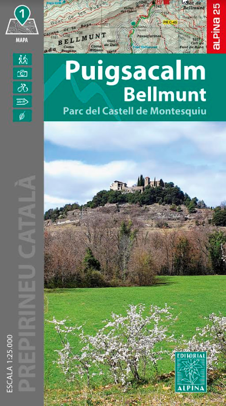
Zone couverte : Pré-Pyrénées et chaîne Transversale Catalane
(Osona, Garrotxa et Ripollès).
Caractéristiques de la carte : carte topographique à
l’échelle de 1:25 000 avec des informations d’intérêt pour la
randonnée, l’ethnologie et la nature : sentiers balisés (GR, PR
et SL), chemins, refuges, grottes, sources, etc.
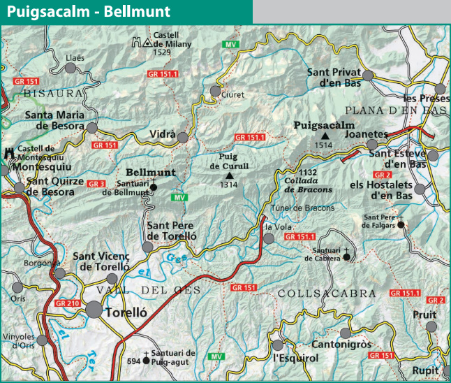
Le rabat pliable comprend :
• Informations d’intérêt
• Randonnées
• Sites incontournables


Covered area: Pre-Pyrenees and Catalan Transversal
Range (Osona, Garrotxa and Ripollès).
Map features: topographic map at a scale of 1:25,000 with
information of hiking interest, ethnological, and natural:
marked trails (GRs, PRs, and SLs), paths, refuges, caves,
springs, etc.
The folding fl ap includes:
• Information of interest
• Hikes
• Highlights

add to wish list
€ 15.50
quantity
- 1 +
ship to :: Italia
Corriere espresso € 6.00
availability
temporarily unavailable
notify when available