


contact us
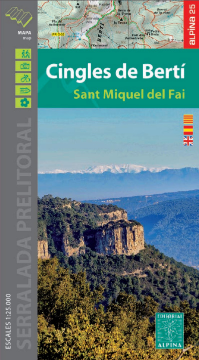
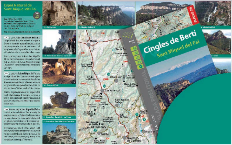
Area of the map: Cingles de Bertí and Gallifa (cliffs). Sant Miquel del Fai Natural Area (Vallès Oriental, Vallès Occidental, Moianès and Osona)
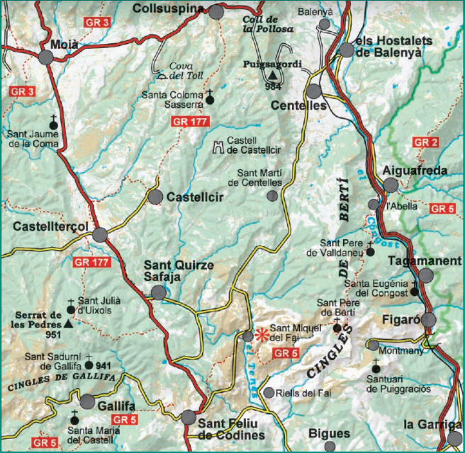
Map features: 1: 25,000 scale topographic map, with information of hiking, ethnological and natural interest: signposted trails (GR’s, PR’s), trails, paths, ice wells, dolmens, waterfalls, etc.
Additional Information:
• Information of interest
• Itineraires
• Information on the Sant Miquel del Fai Natural Area
• Top13: points of interest
Languages: catalan, spanish and english