


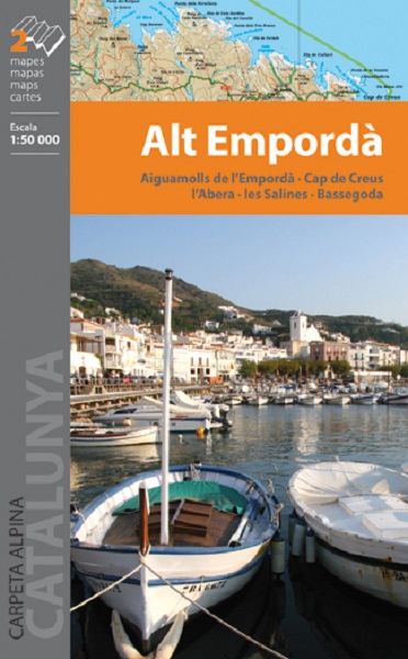
L’Alt Empordà est une région de grands contrastes du nord de la Catalogne : la côte est combiné parfaitement avec la montagne hostile et inaccessible. Les parcs naturels des Aiguamolls de l’Empordà et le Cap de Creus sont deux aires protégées qui contribuent à la conservation d’un territoire riche et fragile en même temps. Par ailleurs, les massifs des Albères et Salines, sont les deux derniers représentants de la chaîne des Pyrénées avant de fusionner avec la Méditerranée.
La carte comprend tout le réseau routier Itinerànnia, ainsi que des sentiers de grande randonnée qui traversent la région: GR 1 GR 11, GR 92, GR 2 GR 10 du côté français, et une partie du Chemin de SaintJacques. Elle comprend également l’emplacement de tous les services d’hébergement, des points d’information et des domaines d’intérêt.
The Alt Empordà is a region of great contrasts of the northern Catalonia: the coast is combined perfectly with the mountain. The natural parks of the Aiguamolls de l’Empordà and Cap de Creus are two protected areas that contribute to the conservation of a territory rich and fragile at the same time. Moreover, the massifs of Albera and Salines, are the last two exponents of the Pyrenees before fusing with the Mediterranean.
The map includes the entire network of Itinerànnia footpaths, as well as long-distance trails that cross the region: GR 1, GR 11, GR 92, GR 2, GR 10 on the French side, and a section of the Camino de Santiago. It also includes the location of all hosting services, information points and items of interest.