


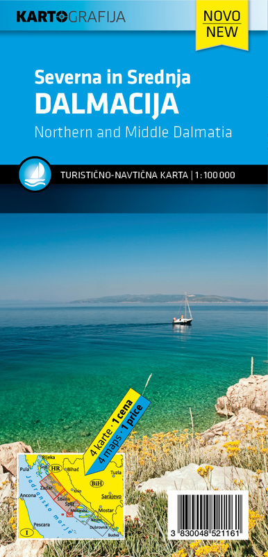
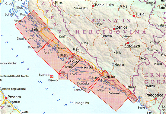
The Dalmatian Coast of the Adriatic on a set of two double-sided road maps at 1:100,000 from the Ljubljana-based Kartografija with good presentation of the topography of the islands and of the adjoining mainland, car ferry connections, etc. Coverage starts from the central part of Pag and on the mainland from north of Karlobag, so please note that the northern islands (Krk, Cres Rab and Lošoi) are not included.
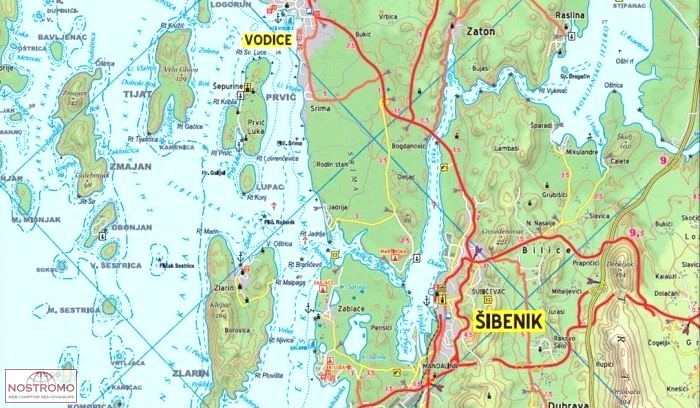
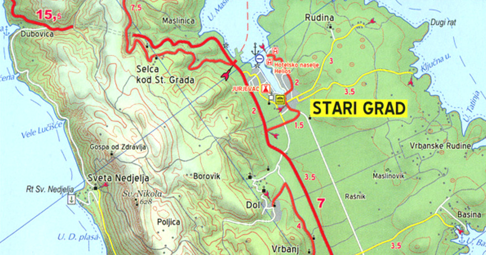
Bold altitude colouring with relief shading and contour lines shows the topography. Road network includes cart tracks, shows locations of petrol stations and gives driving distances on main and many local roads. Also shown are selected footpaths, indicating waymarked routes. Railway lines are shown with stations and car ferry routes are also marked. Symbols indicate various facilities and places of interest including campsites, nudist campings, marinas and nautical fuel supplies, etc. The map have latitude and longitude lines at 5’ intervals.
Map legend includes English.