


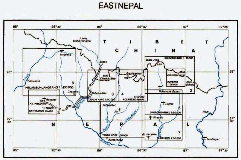
Khumbu Himal area at 1:50.000 on a waterproof and tear-resistant map in the famous Schneider series, revised in 2013 to include extensive tourist information for trekking routes to the Mount Everest Base Camp, Gokyo Lakes, Island Peak, Makalu Base Camp, etc. Coverage extends north from Namche Bazaar and along the Tibetan border from the Lunag Glacier and the Nangpa La (Khumbu La) pass to the peak of Makalu.
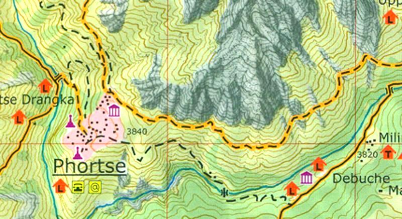
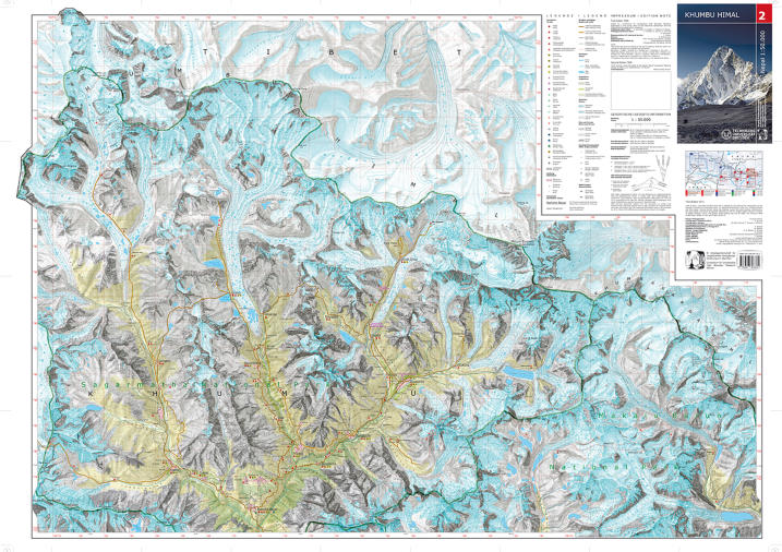
Topography is very vividly presented by contours at 40m intervals, enhanced by excellent relief shading and numerous spot heights, plus colouring and/or graphics to show different types of the terrain (glaciers, crevasses, moraine, scree, etc) and vegetation. Highlighting for trekking trails distinguishes between main and secondary routes, and other local routes are marked. A very wide range of symbols indicate various accommodation options, locations with markets or food shops, banks, medical facilities, monasteries and other places of interest, access by air transport, etc. The map has a 2-km UTM grid, plus latitude and longitude margin ticks at 5’ intervals.
Map legend is in German and English.