


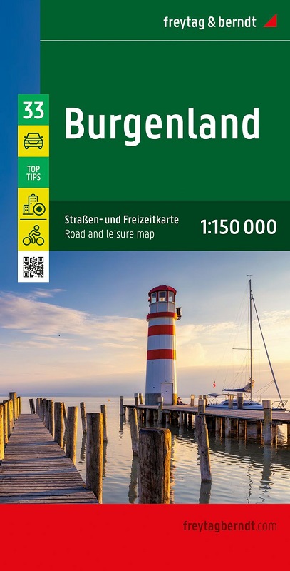
La carta stradale e per il tempo libero del Burgenland in scala 1:150.000 contiene molte informazioni utili e utili per un viaggio nell'Austria occidentale. La rete stradale ramificata è mostrata in dettaglio e sulla mappa sono mostrate numerose piste ciclabili regionali e piste ciclabili a lunga percorrenza. Le strade turistiche e le strade panoramiche sono evidenziate a colori e sono visibili molte destinazioni attraenti.
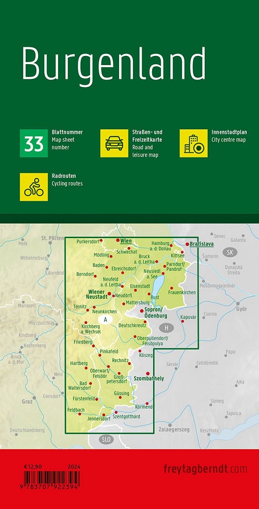
Piazzole per campeggi e camper
I migliori consigli - Mete di escursioni meritevoli
Strade turistiche
Piste ciclabili regionali e piste ciclabili a lunga percorrenza
Sentieri escursionistici a lunga percorrenza
Registro delle località con codici postali
Mappa del centro di Eisenstadt
La serie “Top Tips” offre un breve riassunto dei dieci luoghi più attraenti del Burgenland e delle loro attrazioni. Tutti i testi sono tradotti anche in inglese.