en
wishlist
login
mail

contact us

Cartography

Hiking maps, maps and atlases, cartography around the world. Maps of the trails, cartography for cyclotourism and mountain biking

Mountain

Alpine guides, hiking guides, technical manuals for summer and winter mountaineering. Mountain literature and filmography

Sea

Nautical manuals, nautical cartography, books and literature for sailboat and motor

Travels

Travel guides and travel literature for Italy, Europe and the rest of the world

Military

Collection of the best publications (books and DVDs) on the mountain war on the Alps and the rest of Italy and Europe
back
Tirolo Dolomiti Garda (carta stradale e panoramica)
Freytag & Berndt | Carte stradali / atlanti | Austria | 13 x 25,5 | 1:450.000

Tirolo Dolomiti Garda (carta stradale e panoramica)

1:450.000

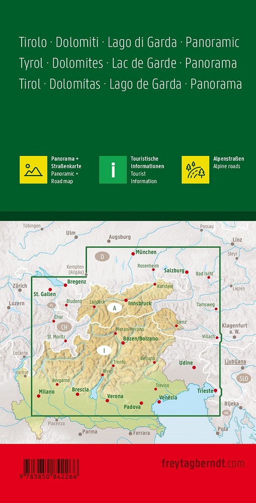
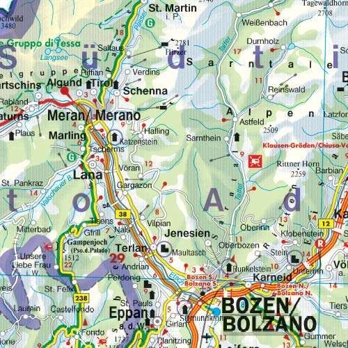
La cartina stradale "Tirolo - Dolomiti - Lago di Garda - Panorama, 1:450.000" offre oltre al design chiaro molte informazioni aggiuntive come condizioni stradali, attrazioni e campeggi. L'ampio registro delle posizioni consente inoltre un rapido orientamento.
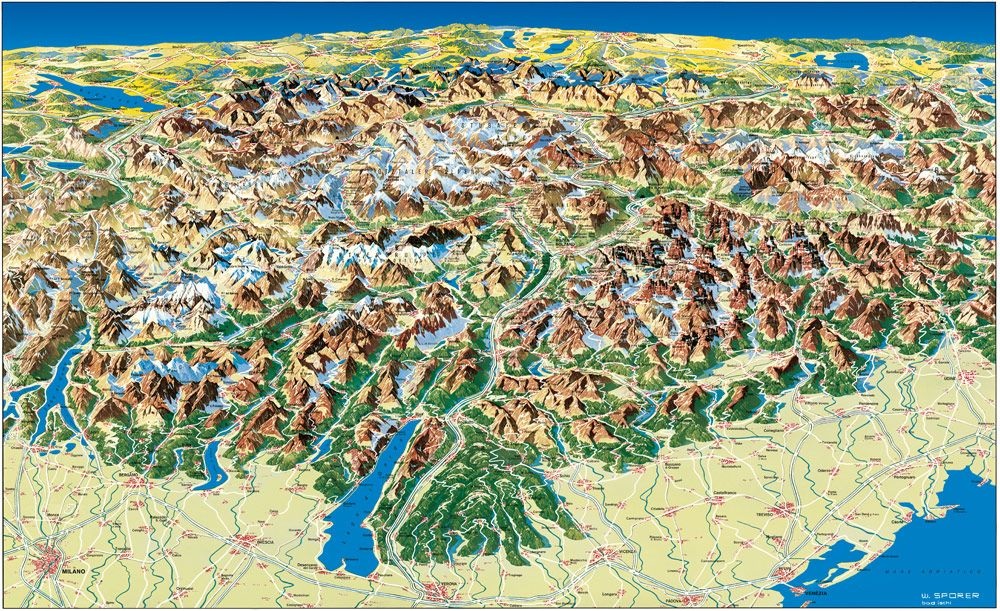
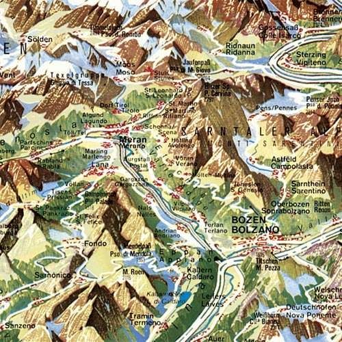
Sul retro è disegnata una mappa panoramica che offre una splendida panoramica della regione.

Dettagli: Informazioni turistiche, Strade alpine, distanze in km, stampa fronte-retro.

Sprache:Deutsch, Englisch, Französisch, Italienisch, Niederländisch, Polnisch, Slowakisch, Spanisch, Tschechisch, Ungarisch


add to wish list
€ 12.90
quantity
- 1 +
ship to :: Italia
Corriere espresso € 6.00
availability
usually shipped within 15/30 days
add to cart