


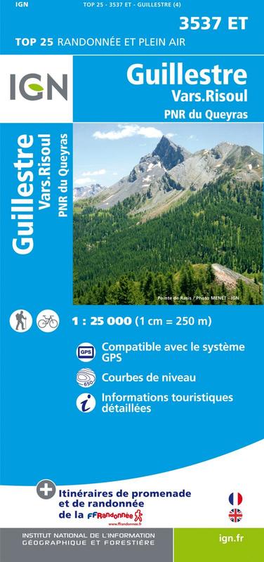
L'indispensable carte de randonnée IGN 3537ET. D'une très grande précision elle contient tous les détails existants sur le terrain : voies de communication jusqu'au moindre sentier, constructions jusqu'au hangar, bois, arbre isolé, rivière, source... Sans oublier la représentation du relief par des courbes de niveau. Les sentiers balisés et les informations touristiques sont également représentées.
Communes couvertes : Eygliers, Château-Ville-Vieille, Risoul, Ceillac, Saint-André-d'Embrun, Arvieux, La Roche-de-Rame, Saint-Crépin, Réotier, Guillestre, Saint-Clément-sur-Durance
Lieux à découvrir : Massif du Queyras,Lac St-Anne, Pic des Houerts, Pic Saint-André, la Mortice, l'Ange Gardien, Pic du Béal Traversier, Pics de la Font Sancte, la Casse Déserte, Pointe de la Saume, Pic du Cros, la Demoiselle Coiffée, Pic des Heuvières, Pic de Panestrel, Pic des Beaudouis, Sommet Bu