


contact us
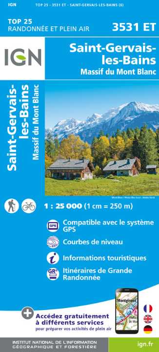
L'indispensable carte de randonnée IGN 3531ET. D'une très grande précision elle contient tous les détails existant sur le terrain : voies de communication et sentiers, constructions y compris les hangars, bois, arbres isolés, rivières, sources, sans oublier la représentation du relief par des courbes de niveau. Les sentiers balisés et les informations touristiques sont également représentés.
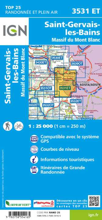
Communes couvertes : Servoz, Les Houches, Bourg-Saint-Maurice, Les Contamines-Montjoie, Saint-Gervais-les-Bains
Lieux à découvrir : Lac Verney, Glacier de Talèfre, Lac de Combal, Glacier de Bionnassay, Glacier de Leschaux, la Vallée Blanche, Mer de Glace, Glacier du Géant, Glacier des Bossons, Glacier de Tré la Tête, Col de la Seigne, Tête Nord des Fours, le Brévent, Col de Voza, Mont Joly, Aiguille de tré la Tête, Col du Bonhomme, Aiguilles de Bionnassay, Aiguille de la Lée Blanche, Mont Maudit, Monte Favre, Punta dei Ghiacciai, Punta Baretti