


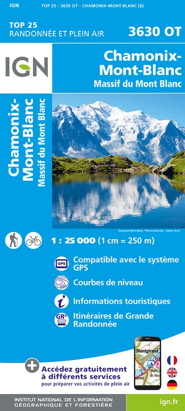
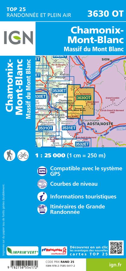
L'indispensable carte de randonnée IGN 3630OT. D'une très grande précision elle contient tous les détails existant sur le terrain : voies de communication et sentiers, constructions y compris les hangars, bois, arbres isolés, rivières, sources, sans oublier la représentation du relief par des courbes de niveau. Les sentiers balisés et les informations touristiques sont également représentés.
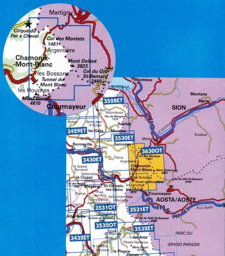
Communes couvertes : Chamonix-Mont-Blanc, Vallorcine
Lieux à découvrir : Lac du Vieux Emosson, Lac de Barberine, Glacier de Talèfre, Lac de Champex, Glacier d'Argentière, Glacier du Tour, Glacier de Leschaux, la Vallée Blanche, Mer de Glace, Glacier du Géant, Glacier des Bossons,,le Brévent, Monte Greuvetta, Aiguille Verte, Mont Maudit, Testa Bernarda, Aiguilles des Grands Montets, Grand Col Ferret, Mont Dolent, Col de Balme, Aiguille de la Brenva, Pointe d'Orny, Aiguille de Talèfre, Monte Allobrogia, Monts Rouges de Triolet