


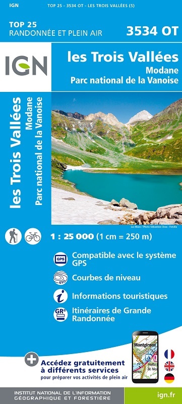
L'indispensable carte de randonnée IGN 3534OT. D'une très grande précision elle contient tous les détails existants sur le terrain : voies de communication jusqu'au moindre sentier, constructions jusqu'au hangar, bois, arbre isolé, rivière, source... Sans oublier la représentation du relief par des courbes de niveau. Les sentiers balisés et les informations touristiques sont également représentées.
Communes couvertes : Montagny, Saint-André, Villarodin-Bourget, Bozel, Aussois, Planay, Orelle, Pralognan-la-Vanoise, Champagny-en-Vanoise, Feissons-sur-Salins
Lieux à découvrir : Glacier de Gébroulaz, Glacier de Chavière, Glaciers de la Vanoise,,Dôme de Chasseforêt, Mont Pelve, Mont de la Chambre, Aiguille de Péclet, Roc de Tougne, Mont du Borgne, la Dent Parrachée, Aiguille du Fruit, Mont du Vallon, Cîme de Caron, Col de la Vanoise, Pointe de Longe Côte, Mt Bochor, Sommet de la Saulire