en
wishlist
login
mail

contact us

Cartography

Hiking maps, maps and atlases, cartography around the world. Maps of the trails, cartography for cyclotourism and mountain biking

Mountain

Alpine guides, hiking guides, technical manuals for summer and winter mountaineering. Mountain literature and filmography

Sea

Nautical manuals, nautical cartography, books and literature for sailboat and motor

Travels

Travel guides and travel literature for Italy, Europe and the rest of the world

Military

Collection of the best publications (books and DVDs) on the mountain war on the Alps and the rest of Italy and Europe
back
3531OT Megève, Col des Aravis

3531OT Megève, Col des Aravis

GPS compatibile

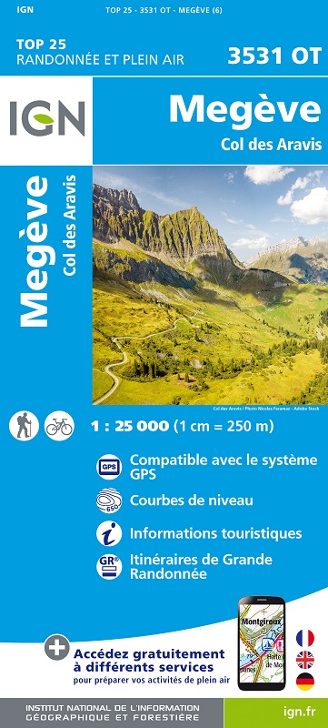
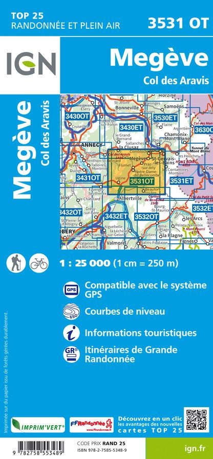
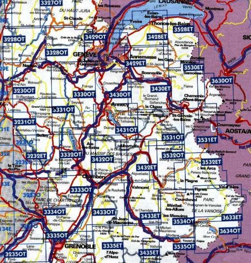
La carte de randonnée 3531OT couvre en totalité les communes de Ugine, Megève, Praz-sur-Arly, Hauteluce, Flumet, Villard-sur-Doron, Saint-Nicolas-la-Chapelle, Crest-Voland, Le Bouchet et Cohennoz. Bonne balade !

Sur la carte 3531OT, vous trouverez la croise baulet, la chaîne des aravis, la forêt de cornillon, la forêt de bisanne et le petit croisse baulet. Vous y découvrirez également le bois de marcot, la pointe des verres, le lac de la gittaz, le val montjoie et la grande balmaz. Vous prendrez plaisir à visiter la forêt communale de beaufort, les rochers des enclaves, la grande torchère, le mont charvin et le col des aravis. Mais songez aussi à voir l'envers, la serlotière, les salières, les trois aiguilles ou pointe de mandallaz, la forêt du revers. Bonne promenade ! 

add to wish list
€ 15.50
quantity
- 1 +
ship to :: Italia
Corriere espresso € 6.00
availability
usually shipped within 15/30 days
add to cart