en
wishlist
login
mail

contact us

Cartography

Hiking maps, maps and atlases, cartography around the world. Maps of the trails, cartography for cyclotourism and mountain biking

Mountain

Alpine guides, hiking guides, technical manuals for summer and winter mountaineering. Mountain literature and filmography

Sea

Nautical manuals, nautical cartography, books and literature for sailboat and motor

Travels

Travel guides and travel literature for Italy, Europe and the rest of the world

Military

Collection of the best publications (books and DVDs) on the mountain war on the Alps and the rest of Italy and Europe
back
Austria atlante stradale
Freytag & Berndt | Carte stradali / atlanti | Austria | pagine 332 | 15 x 26,5 | 1:150.000

Austria atlante stradale

1:150.000

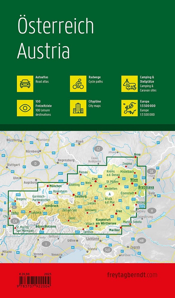
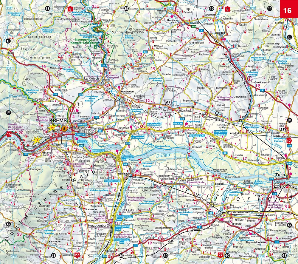
Oltre alla carta geografica dettagliata delle automobili in scala 1:150.000, il Grande Atlante Viaggiatore dell'Austria offre carte proprie per le zone intorno a Monaco, Brno, Bolzano, Budweis e la Valle della Drava. Questa edizione ampliata descrive inoltre 100 destinazioni per il tempo libero da visitare, offre un elenco di tutti i campeggi e parcheggi e fornisce brevi informazioni su 14 percorsi ciclabili, tra cui la pista ciclabile del Danubio e la pista ciclabile dei Tauri. Carta automobilistica e per il tempo libero Austria 1:150.000 Campeggi e parcheggi 100 destinazioni per il tempo libero Piste ciclabili Carta di pianificazione Austria Carta automobilistica Europa 1:3,5 milioni Registro dei luoghi Cartina delle città delle capitali.

Lingue: tedesco / inglese

add to wish list
€ 26.90
quantity
- 1 +
ship to :: Italia
Corriere espresso € 6.00
availability
usually shipped within 15/30 days
add to cart