en
wishlist
login
mail

contact us

Cartography

Hiking maps, maps and atlases, cartography around the world. Maps of the trails, cartography for cyclotourism and mountain biking

Mountain

Alpine guides, hiking guides, technical manuals for summer and winter mountaineering. Mountain literature and filmography

Sea

Nautical manuals, nautical cartography, books and literature for sailboat and motor

Travels

Travel guides and travel literature for Italy, Europe and the rest of the world

Military

Collection of the best publications (books and DVDs) on the mountain war on the Alps and the rest of Italy and Europe
back
Austria atlante stradale
Freytag & Berndt | Carte stradali / atlanti | Austria | pagine 174 | 21 x 29,7 | 1:200.000

Austria atlante stradale

1:200.000

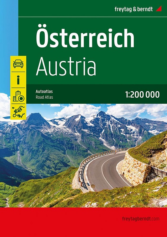
Oltre al design chiaro, il pratico atlante automobilistico Austria 1:200.000 offre molte informazioni aggiuntive come attrazioni, campeggi e numerose mappe delle città. Gli automobilisti e i motociclisti apprezzano particolarmente la precisa cartografia di freytag & berndt per la pianificazione e l'orientamento sul posto.
I camperisti e i camperisti troveranno ovviamente tutti i campeggi e i parcheggi in questo atlante stradale austriaco.

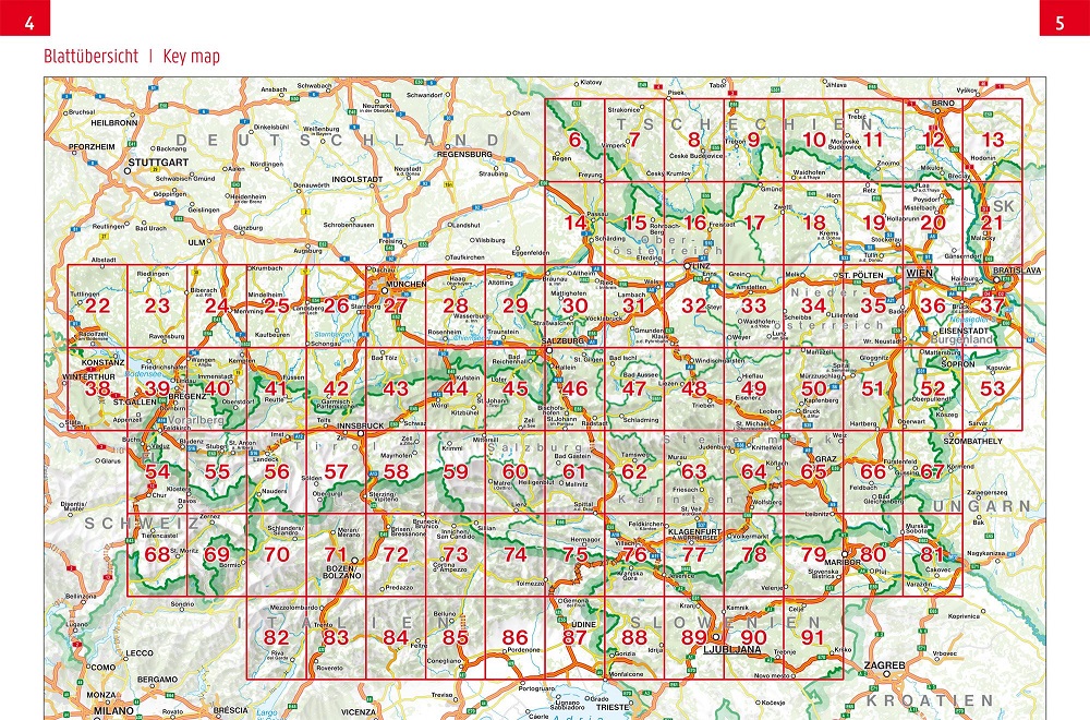
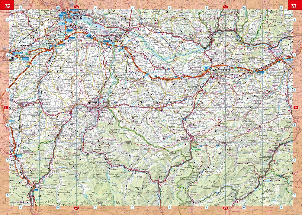
Parte della mappa estesa
Informazioni turistiche
Registro delle località con codici postali
Carta di pianificazione Europa 1:3,5 milioni
Mappe del centro città con elenco stradale di Bregenz, Eisenstadt, Graz, Innsbruck, Klagenfurt, Linz, Salisburgo, St. Pölten e Vienna.

add to wish list
€ 14.90
quantity
- 1 +
ship to :: Italia
Corriere espresso € 6.00
availability
usually shipped within 15/30 days
add to cart