en
wishlist
login
mail

contact us

Cartography

Hiking maps, maps and atlases, cartography around the world. Maps of the trails, cartography for cyclotourism and mountain biking

Mountain

Alpine guides, hiking guides, technical manuals for summer and winter mountaineering. Mountain literature and filmography

Sea

Nautical manuals, nautical cartography, books and literature for sailboat and motor

Travels

Travel guides and travel literature for Italy, Europe and the rest of the world

Military

Collection of the best publications (books and DVDs) on the mountain war on the Alps and the rest of Italy and Europe
back
-5%
Guida ai forti e ai percorsi sugli altipiani veneto trentini da Luserna al Passo della Boccola
Gaspari | Udine | 2010 | pagine 144 | 10,5 x 21

Guida ai forti e ai percorsi sugli altipiani veneto trentini da Luserna al Passo della Boccola

Le escursioni, i protagonisti, la storia

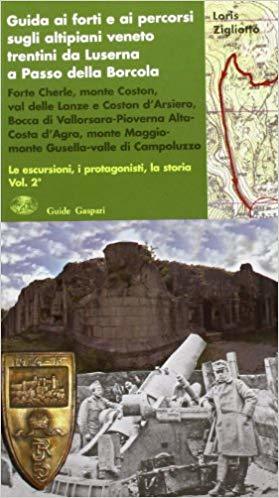
Contiene una mappa di cm.40x40 delle linee degli altipiani. La guida descrive fatti avvenuti e mostra attraverso un ricco apparato fotografico i luoghi dove questi si sono svolti. Il tutto può sembrare elementare per lo storico conoscitore, diventa però pratica e comprensibile per il novello escursionista, interessato a trovare e vedere questi bellissimi luoghi arricchiti dalla storia.

Forte Cherle; monte Coston; val delle Lanze e Coston d’Arsiero; Bocca di Vallorsara - Pioverna Alta - Costa d’Agra; monte Maggiomonte Gusella - valle di Campoluzzo.

120 foto e cartine

add to wish list
€ 12.83
instead of € 13.50
quantity
- 1 +
ship to :: Italia
Corriere espresso € 6.00
availability
temporarily unavailable
notify when available