Terrain
|
Atene |
05/2015 |
impermeabile |
13 x 25 |
1:10.000
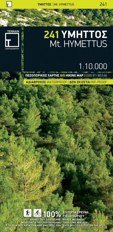
Mount Hymettus (241)
This is the only map of Mt. Hymettus that covers the whole mountain on one sheet (north Hymettus on one side and south Hymettus on the other). On an accurate geophysical background with 10m contour lines, the hiking map of Mt. Hymettus shows all the mountain's trails, with point-to-point distances, so you can calculate the total length and duration of your hike. Scenic forest roads and paths are highlighted with green shading, while the tracks used for downhill cycling are marked with purple shading. Shown on the map are all the climbing crags and their accesses, the caves which are accessible to visit, the monuments and sights, the monasteries, and much else.
add to wish list
€ 12.00
quantity
ship to
:: Italia
Corriere espresso € 6.00
availability
usually shipped within 10/30 days
add to cart