en
wishlist
login
mail

contact us

Cartography

Hiking maps, maps and atlases, cartography around the world. Maps of the trails, cartography for cyclotourism and mountain biking

Mountain

Alpine guides, hiking guides, technical manuals for summer and winter mountaineering. Mountain literature and filmography

Sea

Nautical manuals, nautical cartography, books and literature for sailboat and motor

Travels

Travel guides and travel literature for Italy, Europe and the rest of the world

Military

Collection of the best publications (books and DVDs) on the mountain war on the Alps and the rest of Italy and Europe
back
Macedonia (R4)
Anavasi | Regionali 1:200.000 / 1:250.000 | Grecia | 01/2020 | 14 x 24 | 1:230.000

Macedonia (R4)

1:230.000

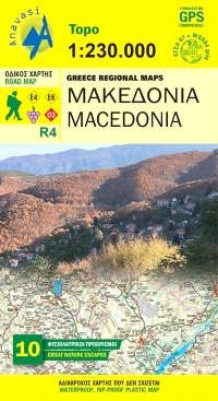
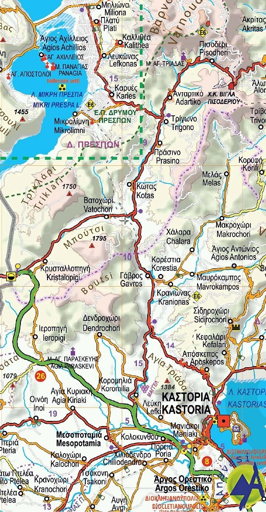
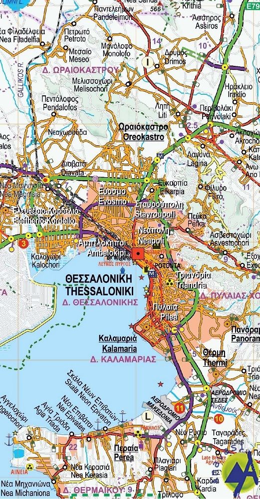
The road map of Macedonial on a scale of 1:230.000, covers the entire region of Macedonia from the Pindus mountain range to the Nestos river.
The map depicts the topography with a coloured shaded relief, the new administrative divisions, new roads, settlements, monuments and major place-names, national parks, ski resorts, mountain refuges, the course of the European paths E4 and E6, and wineries that are open to the public.
Contact details of the wineries are included in the booklet, along with the settlements index.
On the side of the map selected nature escapes are presented.

GPS compatibile


index
add to wish list
€ 11.00
quantity
- 1 +
ship to :: Italia
Corriere espresso € 6.00
availability
usually shipped within 15/30 days
add to cart