


On the map find ideas for 10 top nature destinations.
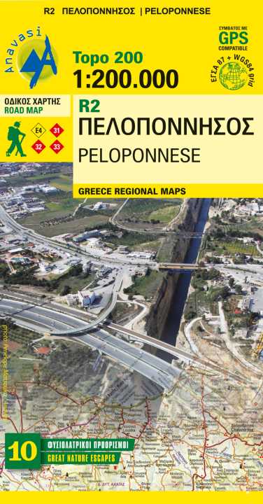
Planning a road trip in the Peloponnese? This is the map to take with you.
It shows all road categories, to the last dirt road.
Every settlement, stating their original name, when known.
Plenty of archaeological sites published for the first time on a map. Beaches, camping, marinas, mountain refuges and the course of the E4 and the major national paths 31, 32 and 33.
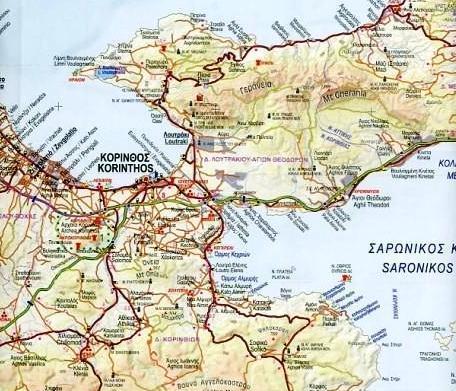
Map correction in East Peloponnese road network.
Touring ideas in the Peloponnese
Discover the region of Messinia at the southwest of the Peloponnese:
Touring in Messinia
Touring in Voidokilia - Palaiokastro
Discover Mani, the middle leg of the Peloponnese:
The cobble stone path of Biliovo in Exo Mani
Touring in Mani - Cape Tainaro
Hike in Neda gorge - Figalia area
Discover the area of Arcadia:
Hiking ideas in Mainalo
Hiking in Lousios Canyon
Discover the area of Achaia:
Hiking in Vouraikos Canyon in Chelmos
Discover the area of Korinthos and Argolida:
Touring in Lake Stymphalia
Touring in Methana
GPS compatibile