


contact us
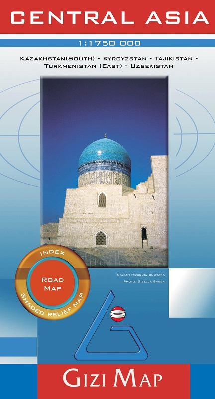
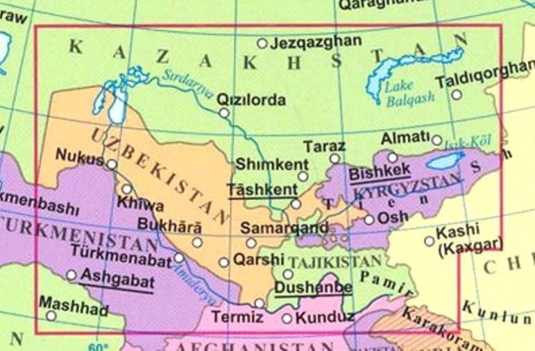
Gizi Map coverage of Central Asia at 1:1,750,000 is available either in a geographical version or in a road edition and includes Uzbekistan, Kyrgyzstan, Tajikistan, plus southern Kazakhstan and most of Turkmenistan.
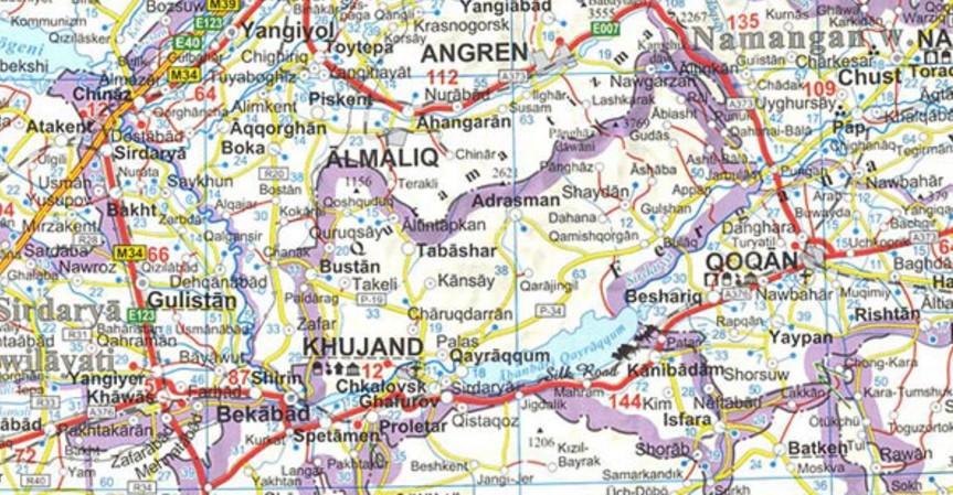
Both versions show the region’s rail and road networks, including selected dirt tracks, give driving distances on major roads, and highlight several variants of the Silk Route. All place names are transliterated; local administrative boundaries are marked and names of provinces are shown.
Detailed topographic information includes names of mountain ranges, deserts and other geographical features, numerous spot heights and peak names, swamps and salt flats, glaciers, etc. National parks are marked. Lines of latitude and longitude are drawn at 1° intervals. Index of localities is on the reverse of each map. Map legend includes English.