


contact us
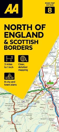
La mappa stradale AA del Nord dell'Inghilterra e dei Confini Scozzesi è una mappa pratica, sottile e pieghevole realizzata dagli esperti dell'AA. Racchiusa in una custodia resistente e resistente alle intemperie, la mappa è realizzata in scala 1:200.000 (2 km a 1 cm), combinando un design chiaro, una scala di facile lettura e maggiori dettagli stradali per garantire che non si perda mai la strada.
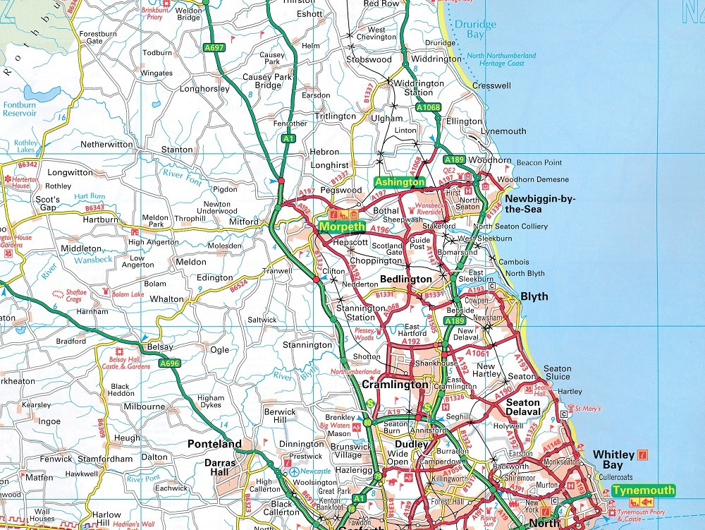
Sono inclusi anche caselli autostradali, aree di servizio, numeri civici, autostrade, strade a doppia carreggiata e strade locali ampie e strette, parchi nazionali e altri luoghi di interesse.
• Posizioni degli autovelox completamente aggiornate, oltre a quelli con i limiti di velocità
• Indice dei nomi delle località chiaro
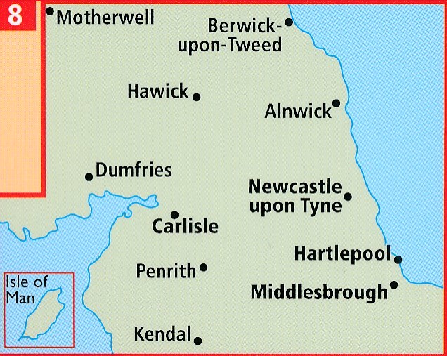
• 7 mappe di città e comuni
• Aree per roulotte e campeggi sono individuate sulla mappa
• Parchi nazionali e luoghi di interesse sono evidenziati
• Siti del National Trust, dell'English Heritage, del patrimonio scozzese e gallese mostrati
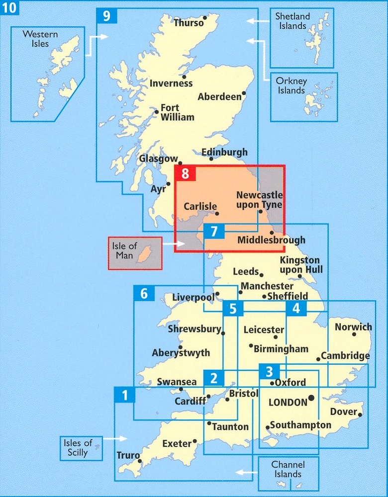
La mappa stradale del Nord dell'Inghilterra e dei Confini Scozzesi fa parte di una serie di mappe stradali della Gran Bretagna realizzate da esperti dell'AA.
AA Road Map North of England & Scottish Borders is a practical and slimline, foldable map from the experts at the AA. Encased in a durable, weatherproof cover, the mapping is produced at a scale of 3 miles to 1 inch (1:200,000 / 2km to 1cm) combining clear design, an easy-to-read scale and more road detail to ensure that you never lose your way. Also included are toll points, service areas, road numbers, motorways, dual carriageways and wide narrow local roads, National Parks and other places of interest. •Fully updated speed camera locations, plus speed cameras with speed limits shown •Clear place name index •7 city and town plans •Caravan & camping sites are pinpointed on the mapping •National Parks and places of interest are also highlighted •National Trust, English Heritage, Scottish and Welsh Heritage sites shown Road Map North of England & Scottish Borders is one in a series of expertly produced road maps of Britain from the AA.