


contact us
Con una cartografia aggiornata e accurata realizzata dagli esperti dell'AA, la mappa stradale del West Country e del Galles del Sud combina un design chiaro e una scala di facile lettura con dettagli stradali per assicurarti di non perdere mai la strada.
Ideale da tenere in auto per i lunghi viaggi, ogni mappa include informazioni su caselli autostradali, aree di servizio, numeri civici, autostrade, strade a doppia carreggiata e strade locali larghe e strette. Sono inoltre evidenziati parchi nazionali, siti patrimonio inglese e gallese e luoghi di interesse, come aree per roulotte e campeggi.
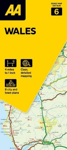
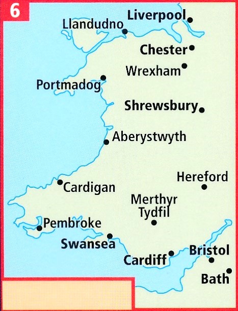
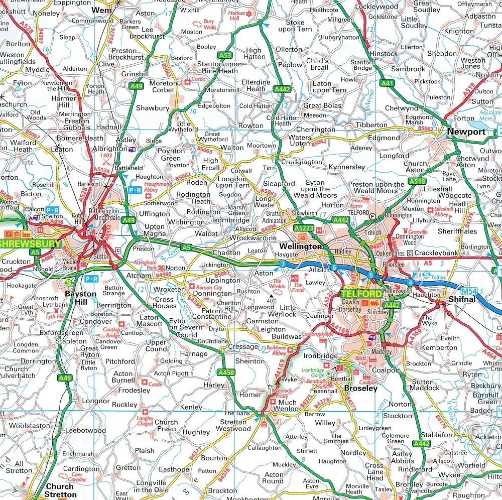
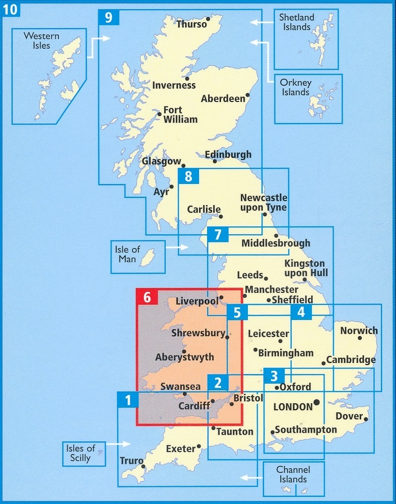
Britain's clearest mapping from the experts at the AA, in a handy foldable road map covering Wales. Fully updated, the map combines clear design and an easy-to-read scale of 3 miles to 1 inch, with more road detail to ensure you never lose your way while navigating Britain's roads. The map includes information on toll points, service areas, road numbers, motorways, dual carriageways and wide and narrow local roads. National parks and places of interest are also highlighted.