


contact us
La mappa stradale AA East Anglia è una mappa pratica, sottile e pieghevole, realizzata dagli esperti dell'AA. Racchiusa in una custodia resistente e resistente alle intemperie, la mappa è realizzata in scala 1:200.000 (2 km a 1 cm), combinando un design chiaro, una scala di facile lettura e maggiori dettagli stradali per garantire che non si perda mai la strada.
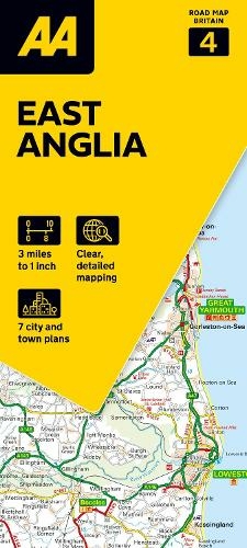
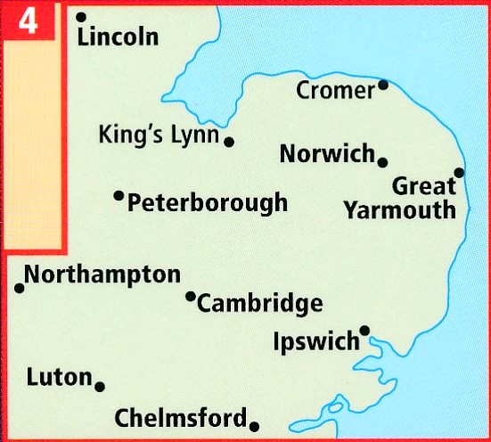
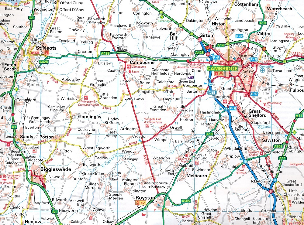
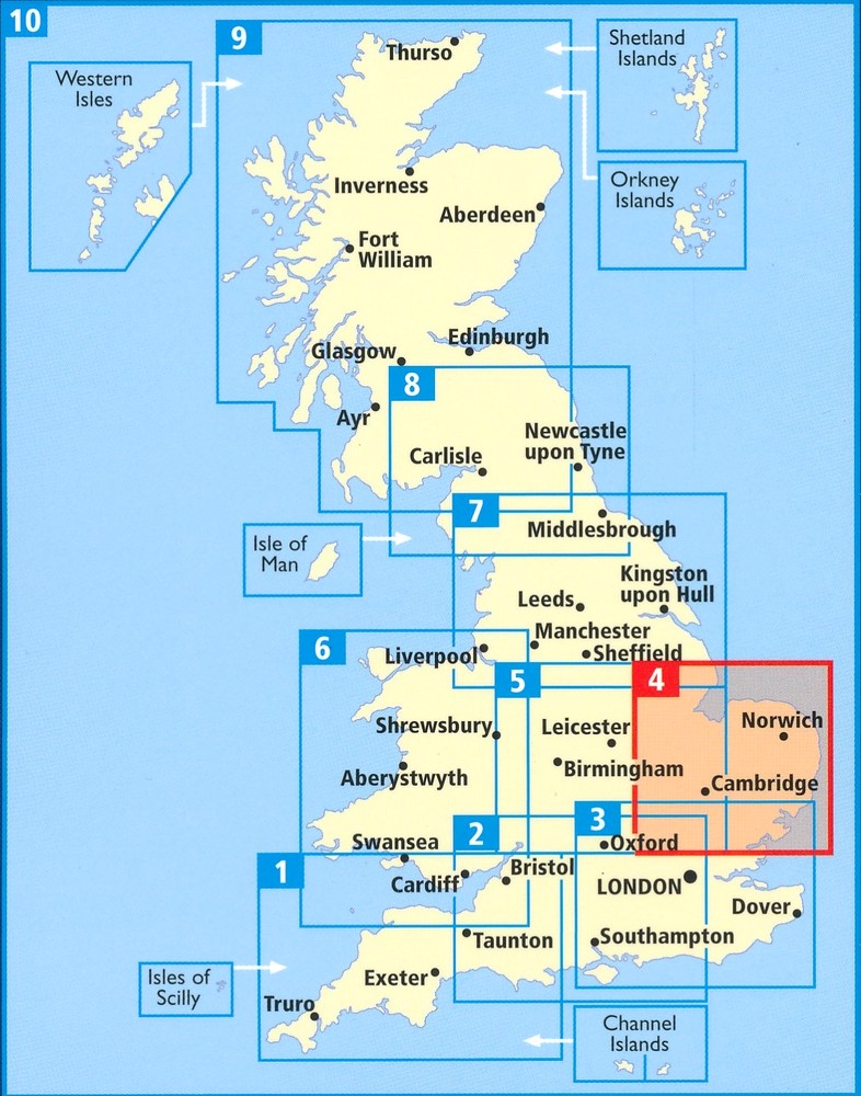
Britain's clearest mapping from the experts at the AA, in a handy foldable road map covering South East England. Fully updated, the map combines clear design and an easy-to-read scale of 3 miles to 1 inch, with more road detail to ensure you never lose your way while navigating Britain's roads. The map includes information on toll points, service areas, road numbers, motorways, dual carriageways and wide and narrow local roads. National parks and places of interest are also highlighted.