


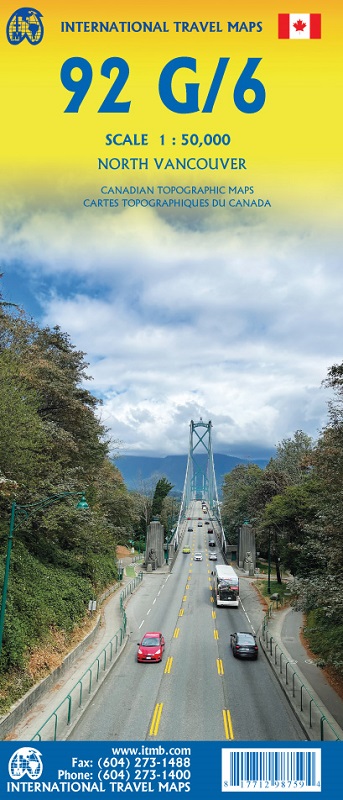
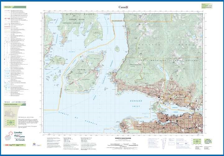
This map will find its best market opportunities locally, but these two maps of the north shore mountains are two of the most popular NTS maps in print. Actually, neither has been in print for quite some time, and have been available only as print on demand plots. NTS, for National Topographic System, maps are government survey maps, similar in purpose to Ordnance Survey, IGN, Auslig or USGS. It takes 13,500 separate maps at this scale to cover Canada (OS' 204 maps covers Britain; a drop in the bucket!). The maps are printed on plastic for durability, with North Vancouver 092G06 on one side, and Port Coquitlam 092G07 on the other side, with two separate covers. This map is available only folded; anyone wanting a flat copies will have to make do with a plotted copy. The government will not be reprinting either of these maps.
Questa mappa troverà le sue migliori opportunità di mercato a livello locale, ma queste due mappe delle montagne della costa settentrionale sono due delle mappe NTS più popolari in stampa. In realtà, nessuna delle due è in stampa da un bel po' di tempo, ed è disponibile solo come plot di stampa su richiesta. Le mappe NTS, per National Topographic System, sono mappe di rilevamento governative, simili nello scopo a Ordnance Survey, IGN, Auslig o USGS. Ci vogliono 13.500 mappe separate a questa scala per coprire il Canada (le 204 mappe di OS coprono la Gran Bretagna; una goccia nel mare!). Le mappe sono stampate su plastica per una maggiore durata, con North Vancouver 092G06 su un lato e Port Coquitlam 092G07 sull'altro lato, con due copertine separate. Questa mappa è disponibile solo piegata; chiunque desideri una copia piatta dovrà accontentarsi di una copia tracciata. Il governo non ristamperà nessuna di queste mappe.