en
wishlist
login
mail

contact us

Cartography

Hiking maps, maps and atlases, cartography around the world. Maps of the trails, cartography for cyclotourism and mountain biking

Mountain

Alpine guides, hiking guides, technical manuals for summer and winter mountaineering. Mountain literature and filmography

Sea

Nautical manuals, nautical cartography, books and literature for sailboat and motor

Travels

Travel guides and travel literature for Italy, Europe and the rest of the world

Military

Collection of the best publications (books and DVDs) on the mountain war on the Alps and the rest of Italy and Europe
back
92/H2 Manning Park/Skagit Region (B.C.)
ITMB | Carte escursionistiche | Vancouver | 2008 | impermeabile | 10 x 25 | 1:50.000

92/H2 Manning Park/Skagit Region (B.C.)

1:50.000

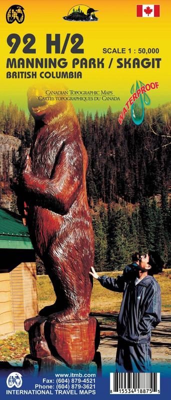
This map is double sided with Manning Park 092H02 topographic map on one side, and Skagit River 092H03 on the other side.

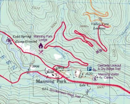
Manning Park 092H02 includes Manning Provincial Park from North Nicomen into Hozameen Range and Okanagan Range. The map also shows: Three Brothers Mountain, Frosty Mountain, Chuwanten Mountain, Lone Goat Mountain, Snowcamp Mountain, Red Mountain, Similkameen River, Lightning Lake, Garrison Lakes and so on.

Skagit River 092H03 covers the Cascade Mountains, which include regions of Chilliwack Lake, Skagit Valley, Marmot Mountain, Silverdaisy Mountain, Halchelhead Mountain, Jeffrey Peak, etc.

add to wish list
€ 13.00
quantity
- 1 +
ship to :: Italia
Corriere espresso € 6.00
availability
Out of stock
notify when available