


contact us
Martinique and Guadeloupe with Saint-Barthélemy and Saint Martin at 1:65,000 and 1:100,000 respectively on a double-sided map from ITMB presenting each island with a street plan of the town centre in its capital.
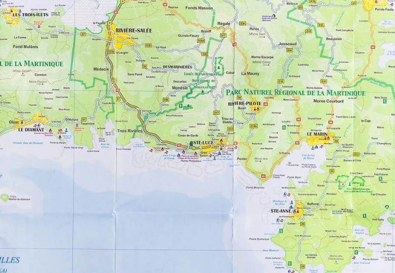
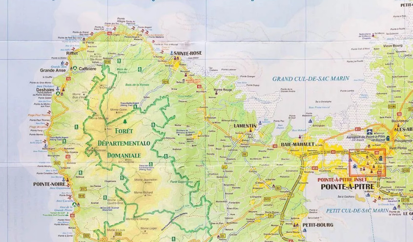
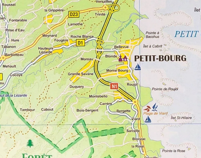
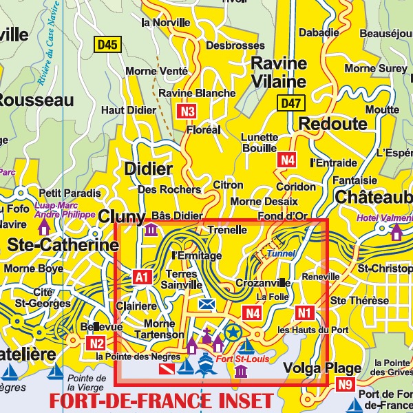
On one side is Martinique at 1:65,000 a street plan of Fort-de-France at 1:10,000. On the reverse coverage of Guadeloupe at 1:100,000 includes Marie-Galante, Les Saintes, Iles de la Terre and La Désirade, with Saint-Barthélemy and Saint Martin/Sint Maarten shown as insets at the same scale. The street plan covers Pointe-à-Pitre.
Both maps have altitude colouring and prominently highlight the islands’ national parks and other protected areas. Road network includes selected local roads and tracks. No driving distances are marked. Also indicated are principal hiking routes. A range of symbols highlight various places of interest, both on the maps and on the accompanying street plans as appropriate: selected hotels, campsites, beaches and diving/watersports sites, marinas, etc. Latitude and longitude lines are shown at 5’ intervals.
Each side has a separate index.
Map legends are in English and French.