en
wishlist
login
mail

contact us

Cartography

Hiking maps, maps and atlases, cartography around the world. Maps of the trails, cartography for cyclotourism and mountain biking

Mountain

Alpine guides, hiking guides, technical manuals for summer and winter mountaineering. Mountain literature and filmography

Sea

Nautical manuals, nautical cartography, books and literature for sailboat and motor

Travels

Travel guides and travel literature for Italy, Europe and the rest of the world

Military

Collection of the best publications (books and DVDs) on the mountain war on the Alps and the rest of Italy and Europe
advanced search ricerca avanzata
back
Gran Bretagna
ITMB | Carte stradali | Vancouver | 2013 | impermeabile | 10 x 25 | 1:720.000

Gran Bretagna

1:720.000

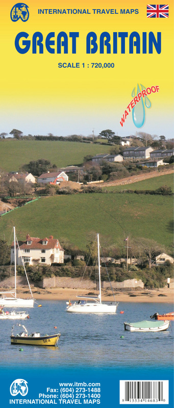
Great Britain on an indexed, double-sided map from ITMB printed on light, waterproof and tear-resistant synthetic paper. The map divides the country north/south across the southern part of the Lake District, with a small overlap between the sides. Coverage inludes most of Northern Ireland. Topography is shown by altitude colouring with names of main mountain ranges and highlighting for national parks and selected other protected areas. 

Road network presents the motorways with junction numbers and services, and shows the numbers of most A roads. Many B roads are included but not numbered. Railway lines and ferry connections are included and administrative boundaries are marked. Symbols indicate various places of interest. Latitude and longitude lines are drawn at 1° intervals. Each side has a separate index.
 

add to wish list
€ 11.00
quantity
- 1 +
ship to :: Italia
Corriere espresso € 5.50
availability
available
add to cart