


contact us
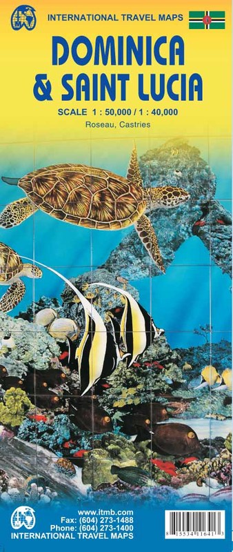
Dominica and Saint Lucia on a double-sided map from ITMB showing each island on one side accompanied by street plans of Roseau and Castries respectively. The islands’ topography is shown by contours and altitude colouring.
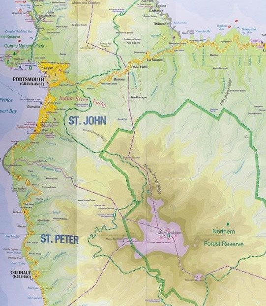
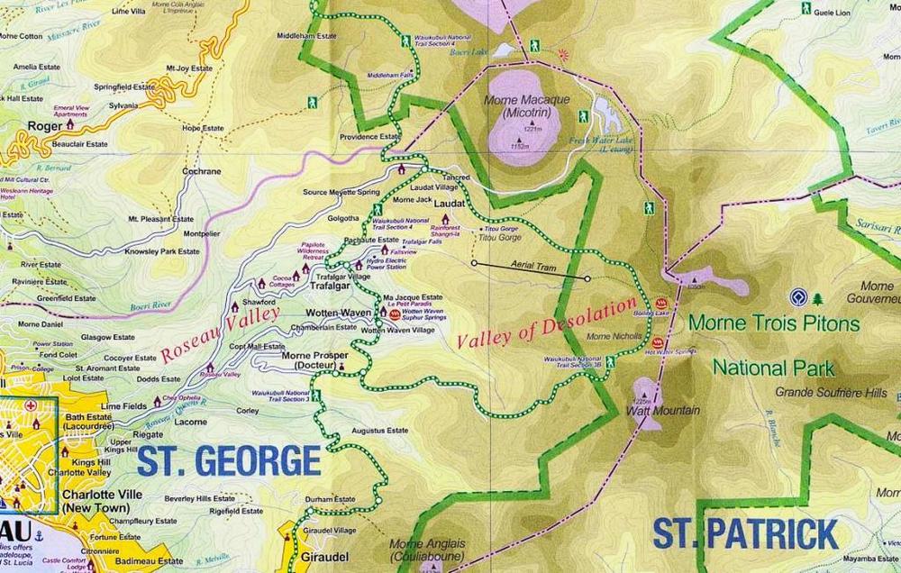
On one side is Dominica at 1:50,000. Contour lines are at 25m intervals. The Waiukubuli National Hiking Trail is prominently marked. On the reverse, St Lucia is shown at 1:40,000 with contours at 50m. On both islands the map indicates protected areas and shows the road network, including dirt roads. Symbols highlight various places of interest, including selected tourist accommodation, beaches and snorkeling/diving sites, etc. Each side is indexed and has latitude and longitude lines at 5’ on Dominica and at 2’ on St Lucia.
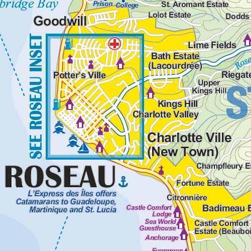
Street plans cover the town centres of Roseau and Castries showing locations of selected hotels and other facilities.