


contact us
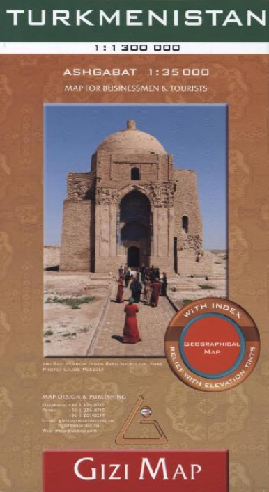
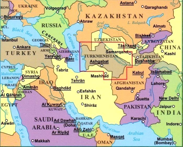
Turkmenistan in scala 1:1.300.000, tratto dalla mappa di Gizi, su una mappa indicizzata con colorazione delle altitudini e grafici che forniscono un'eccellente rappresentazione della topografia del Paese, con indicazioni per i percorsi dell'antica Via della Seta, pozzi di petrolio o gas e oleodotti, ecc., oltre a una planimetria stradale di Ashgabat.
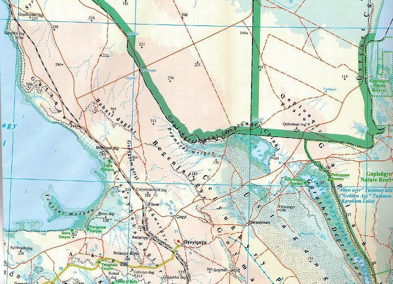
La topografia è rappresentata tramite colorazione delle altitudini, nomi di catene montuose, deserti, ecc., oltre a numerose altezze e grafici che indicano deserti, saline e paludi. Sono inoltre indicati pozzi d'acqua e acquedotti, nonché i parchi nazionali e altre aree protette del Paese. La mappa mostra la rete stradale, comprese le piste desertiche, con la posizione dei valichi di frontiera e le distanze percorribili sulle strade principali e su alcune tratte secondarie. I simboli indicano strade e piste che facevano parte della Via della Seta. Sono incluse le linee ferroviarie e sono indicati gli aeroporti locali. Sono evidenziati vari luoghi di interesse, tra cui siti storici e curiosità naturali. La mappa mostra anche i confini amministrativi interni e i nomi delle province, nonché pozzi di petrolio o gas e oleodotti. Le linee di latitudine e longitudine sono tracciate a 1°. L'indice si trova accanto alla mappa e include un elenco separato di luoghi di interesse. La legenda della mappa include l'inglese.
È inoltre fornita una planimetria di Ashgabat, con i nomi delle strade e dei quartieri principali, degli edifici e delle istituzioni più importanti, dei musei, di alcuni hotel, ecc.
Turkmenistan at 1:1,300,000 from Gizi Map on an indexed map with altitude colouring and graphics providing an excellent picture of the country’s topography, marking for the routes of the old Silk Road, oil or gas wells and pipelines, etc, plus a street plan of Ashgabat.
Topography is shown by altitude colouring, names of mountain ranges, deserts, etc, plus numerous spot heights and graphics indicating deserts, salt flats and swamps. Water wells and aqueducts, as well as the country’s national parks and other protected areas are also marked. The map shows the road network, including desert tracks, with locations of border crossings and driving distances on main and selected secondary routes. Symbols indicate roads and tracks which were part of the Silk Road. Railway lines are included and local airports are marked. Various places of interest are highlighted, including historical sites and natural curiosities. The map also shows internal administrative boundaries and names of the provinces, and oil or gas wells and pipelines. Latitude and longitude lines are drawn at 1º. The index is next to the map and includes a separate list of places of interest. Map legend includes English.
Also provided is a street plan of Ashgabat, showing names of principal streets and districts, important buildings and institutions, museums, selected hotels, etc.