en
wishlist
login
mail

contact us

Cartography

Hiking maps, maps and atlases, cartography around the world. Maps of the trails, cartography for cyclotourism and mountain biking

Mountain

Alpine guides, hiking guides, technical manuals for summer and winter mountaineering. Mountain literature and filmography

Sea

Nautical manuals, nautical cartography, books and literature for sailboat and motor

Travels

Travel guides and travel literature for Italy, Europe and the rest of the world

Military

Collection of the best publications (books and DVDs) on the mountain war on the Alps and the rest of Italy and Europe
advanced search ricerca avanzata
back
-5%
Corno alle Scale - Alto Appennino bolognese e pistoiese
L'escursionista | Cartografia Appennino | Rimini | pagine 48 | 12 x 17 | 1:25.000

Corno alle Scale - Alto Appennino bolognese e pistoiese

Carta 1:25.000 + guida

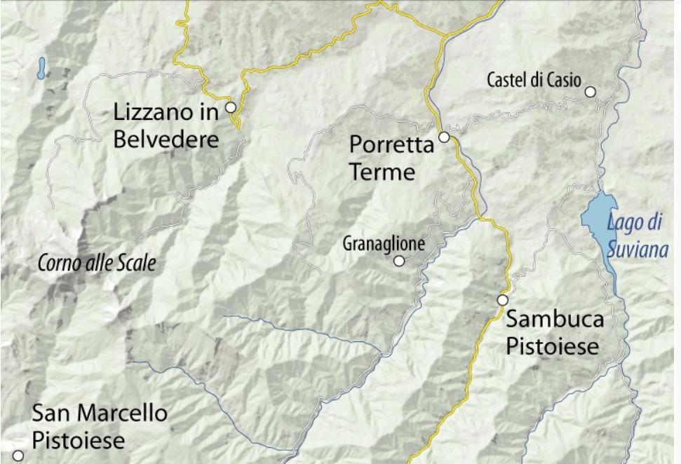
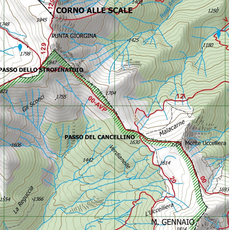
Carta dei sentieri del Corno alle Scale - Alto Appennino bolognese e pistoiese
Parco Regionale Corno alle Scale, Parco Regionale dei Laghi di Suviana e Brasimone.

Reticolo chilometrico WGS84. 

I sentieri segnati sono stati rilevati sul territorio con apparecchiatura satellitare GPS.

Allegata guida di 48 pagine con le peculiarità del territorio bolognese.


add to wish list
€ 7.60
instead of € 8.00
quantity
- 1 +
ship to :: Italia
Corriere espresso € 5.50
availability
available
add to cart