en
wishlist
login
mail

contact us

Cartography

Hiking maps, maps and atlases, cartography around the world. Maps of the trails, cartography for cyclotourism and mountain biking

Mountain

Alpine guides, hiking guides, technical manuals for summer and winter mountaineering. Mountain literature and filmography

Sea

Nautical manuals, nautical cartography, books and literature for sailboat and motor

Travels

Travel guides and travel literature for Italy, Europe and the rest of the world

Military

Collection of the best publications (books and DVDs) on the mountain war on the Alps and the rest of Italy and Europe
advanced search ricerca avanzata
back
-5%
01 La Thuile - Haute Tarentaise
L'escursionista | Cartografia Alpi | Rimini | 1:25.000

01 La Thuile - Haute Tarentaise

GPS compatibile

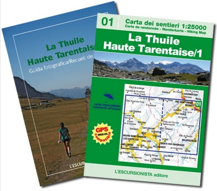
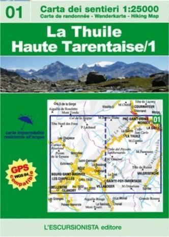
Carta escursionistica n°01 della nuova collana transfrontaliera Italia/Francia.
Copre l'area di La Thuile (Valle d'Aosta) e Bourg-Saint-Maurice, Montvalezan, Sainte Foy-Tarentaise, Séez, Villaroger con i comprensori di La Rosière e Les Arcs (Haute Tarentaise), con percorsi a piedi e in mountain bike segnalati.
Stampata su supporto resistente all'acqua e GPS compatibile.
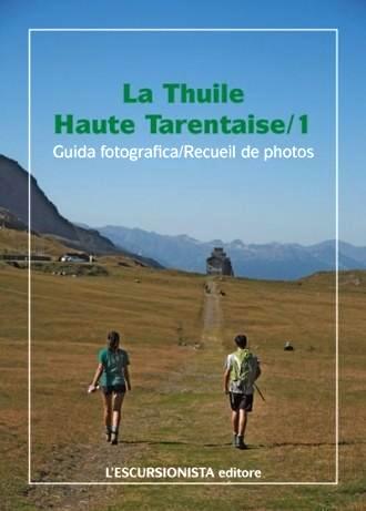
Confezionata in busta di plastica con guida fotografica.


add to wish list
€ 11.40
instead of € 12.00
quantity
- 1 +
ship to :: Italia
Corriere espresso € 5.50
availability
out of stock