en
wishlist
login
mail

contact us

Cartography

Hiking maps, maps and atlases, cartography around the world. Maps of the trails, cartography for cyclotourism and mountain biking

Mountain

Alpine guides, hiking guides, technical manuals for summer and winter mountaineering. Mountain literature and filmography

Sea

Nautical manuals, nautical cartography, books and literature for sailboat and motor

Travels

Travel guides and travel literature for Italy, Europe and the rest of the world

Military

Collection of the best publications (books and DVDs) on the mountain war on the Alps and the rest of Italy and Europe
back
8 Cicladi
Terrain | Atene | 05/2018 | impermeabile | 13 x 25 | 1:200.000

8 Cicladi

1:200.000

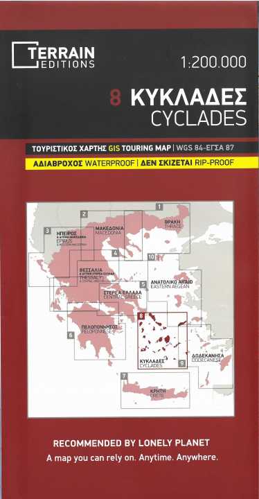
Mappa dettagliata e aggiornata delle isole Cicladi realizzata utilizzando la tecnologia G.I.S. (Sistemi Informativi Geografici) e il sistema di riferimento WGS84, integrato da una griglia GS87.

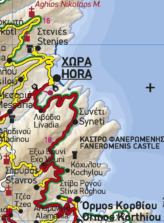
Come tutte le mappe di grandi dimensioni di TERRAIN, la mappa delle Cicladi è stampata su Polyart, un materiale estremamente resistente a piegature e aperture, antistrappo e impermeabile al 100%.

Questa mappa presenta tutte le isole Cicladi e le loro spiagge, i porti, i collegamenti marittimi, gli aeroporti e tutti i luoghi di interesse più importanti. È la mappa ideale per pianificare la vostra visita alle isole Cicladi, soprattutto se viaggiate in barca a vela.

add to wish list
€ 12.00
quantity
- 1 +
ship to :: Italia
Corriere espresso € 6.00
availability
usually shipped within 10/30 days
add to cart