


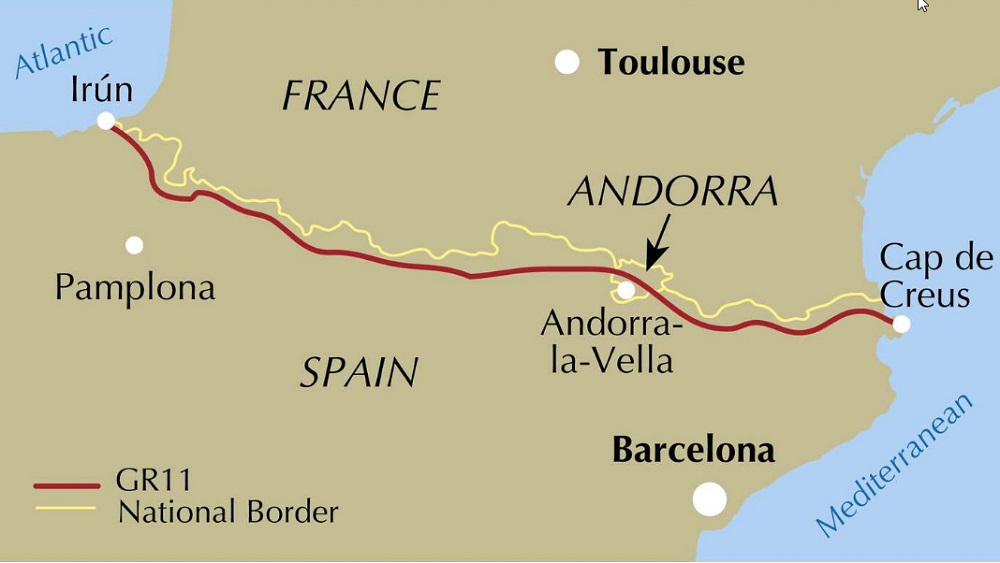
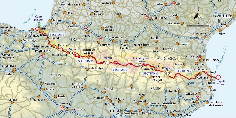
The GR11 trail traverses the Spanish Pyrenees from Irun on the Atlantic coast to Cap de Creus on the Mediterranean. Leading over high passes and through sweeping valleys, the 850km route is presented in 47 stages. Trekkers require experience of high mountains.
Seasons
June to October for the Central Pyrenees. Spring and autumn would be possible in the Basque Country and near the Mediterranean.
Centres
The route goes from the Atlantic Ocean at Irun on the French-Spanish border and passes through many small villages in Spain and Andorra.
Difficulty
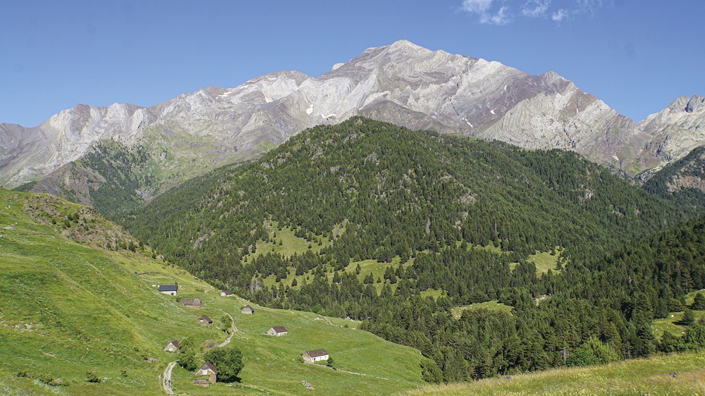
alpine-style mountains, crossing passes up to 2700m where there is rough, steep terrain to traverse. It is at the upper end of walking difficulty. Early season, with snow on the high passes, would require mountaineering skills.
Must See
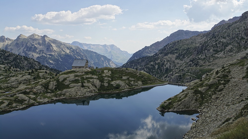
The Basque country, Anayet lakes, Ordessa and Monte Perdido National Park, Aiguestortes and Estany de Sant Maurici National Park, the Maladeta range, Andorra, Cap de Creus Natural Park.