en
wishlist
login
mail

contact us

Cartography

Hiking maps, maps and atlases, cartography around the world. Maps of the trails, cartography for cyclotourism and mountain biking

Mountain

Alpine guides, hiking guides, technical manuals for summer and winter mountaineering. Mountain literature and filmography

Sea

Nautical manuals, nautical cartography, books and literature for sailboat and motor

Travels

Travel guides and travel literature for Italy, Europe and the rest of the world

Military

Collection of the best publications (books and DVDs) on the mountain war on the Alps and the rest of Italy and Europe
back
-5%
Appennino Faentino stato
SELCA | Firenze | 2014 | 1:25.000

Appennino Faentino

a cura del CAI della Sezione di Faenza

Alta Via dei Parchi - Parco Regionale della Vena del Gesso Romagnola - Parco nazionale delle Foreste Casentinesi

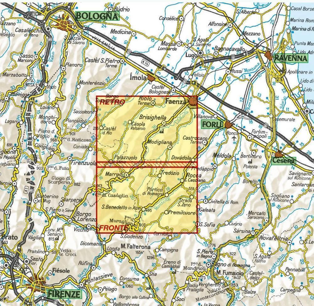
La zona coperta spazia dalla bassa valle del Santerno a quasi tutta la valle del Montone e dalla via Emilia allo spartiacque appenninico.
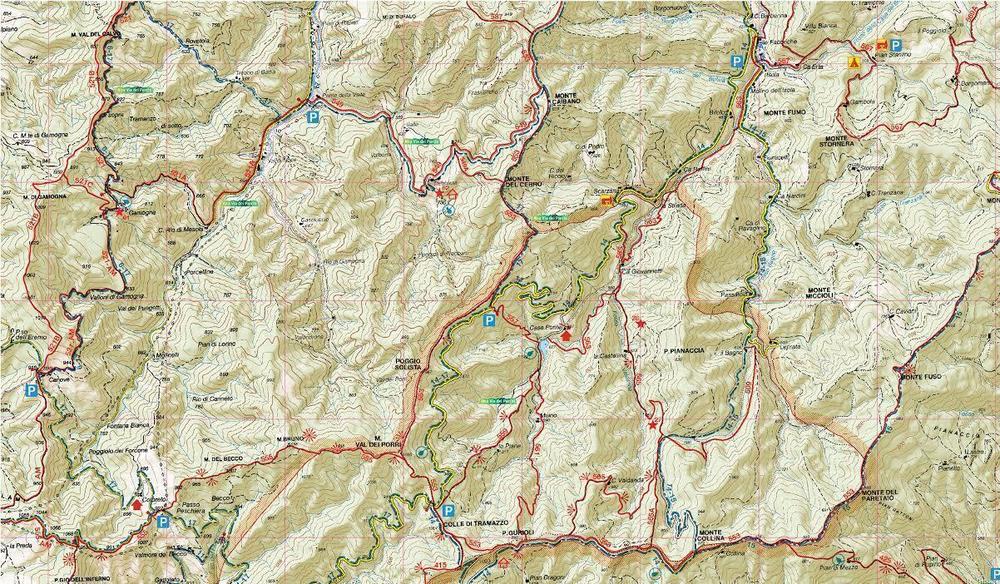
Oltre a tutti i vecchi itinerari escursionistici sono inseriti anche tutti i percorsi nati in questi ultimi anni, i vari cammini della Fede, il sentiero Garibaldi, fino all’ultima Alta Via dei Parchi.

Stampa fronte/retro
 

add to wish list
€ 12.35
instead of € 13.00
quantity
- 1 +
ship to :: Italia
Corriere espresso € 6.00
availability
Out of stock
notify when available