en
wishlist
login
mail

contact us

Cartography

Hiking maps, maps and atlases, cartography around the world. Maps of the trails, cartography for cyclotourism and mountain biking

Mountain

Alpine guides, hiking guides, technical manuals for summer and winter mountaineering. Mountain literature and filmography

Sea

Nautical manuals, nautical cartography, books and literature for sailboat and motor

Travels

Travel guides and travel literature for Italy, Europe and the rest of the world

Military

Collection of the best publications (books and DVDs) on the mountain war on the Alps and the rest of Italy and Europe
advanced search ricerca avanzata
back
-5%
Le Vie del Sale F9 sentieri e itinerari dal Basso Piemonte al mare
SCI Studio Cartografico Italiano | Cartografia | Genova | 11 x 17 - 104 x 76 | 1:25.000

Le Vie del Sale F9 sentieri e itinerari dal Basso Piemonte al mare

Il Beigua e la Riviera da Voltri a Albissola Marina

La carta escursionistica dello Studio Cartografico Italiano è realizzata  con sistema di riferimento UTM/WGS84 zona 32N, con un’ampia rappresentazione del territorio.

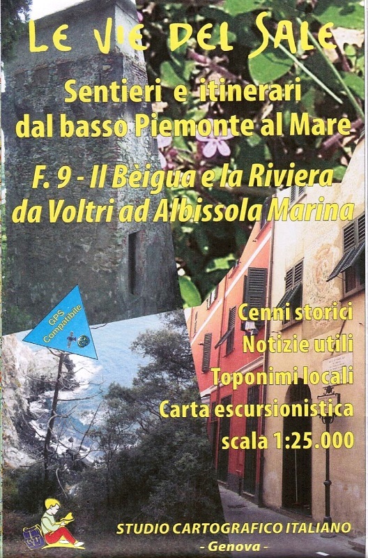
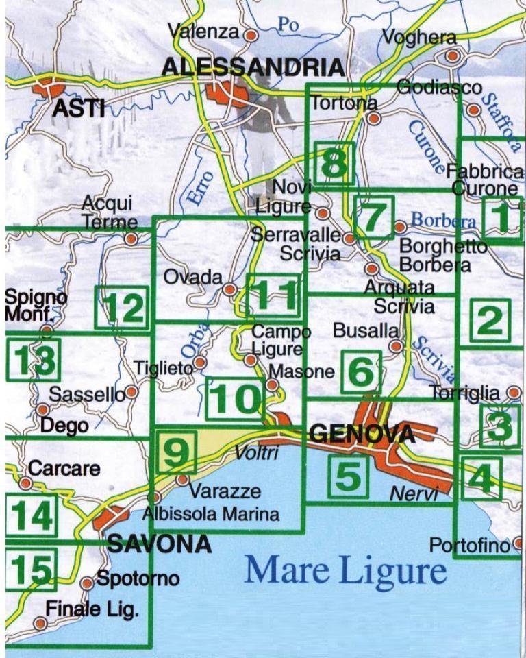
Contenuti cartografici:
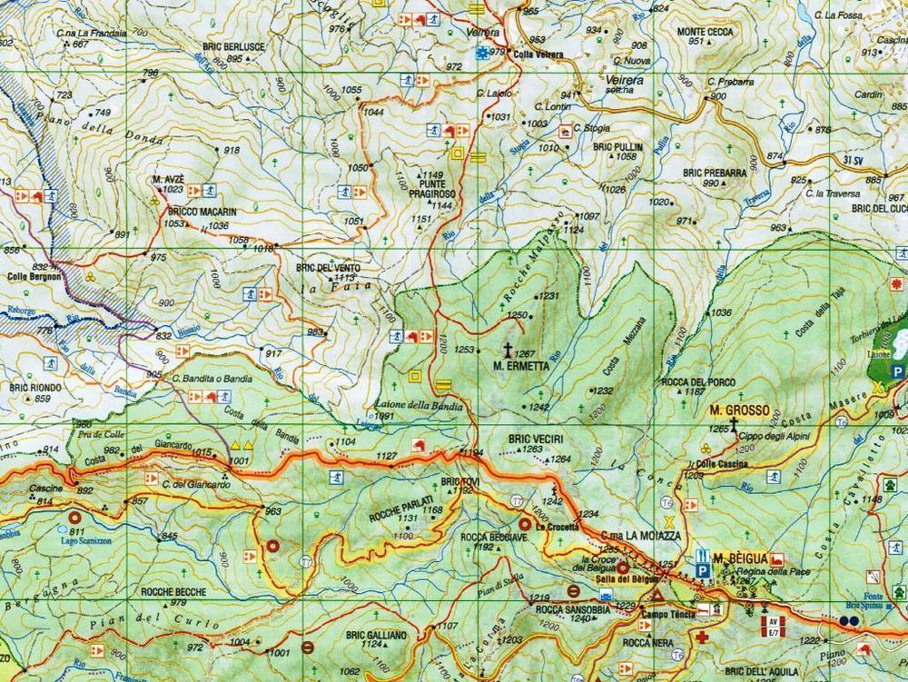
- Itinerai escursionistici segnalati dal CAI e dalla Federazione Italiana Escursionismo;
- Coordinate ben visibili per un uso congiunto al GPS;
- Elenco sentieri e descrizione dei percorsi sul retro con cenni storici e notizie utili.

index
add to wish list
€ 7.60
instead of € 8.00
quantity
- 1 +
ship to :: Italia
Corriere espresso € 5.50
availability
available
add to cart