en
wishlist
login
mail

contact us

Cartography

Hiking maps, maps and atlases, cartography around the world. Maps of the trails, cartography for cyclotourism and mountain biking

Mountain

Alpine guides, hiking guides, technical manuals for summer and winter mountaineering. Mountain literature and filmography

Sea

Nautical manuals, nautical cartography, books and literature for sailboat and motor

Travels

Travel guides and travel literature for Italy, Europe and the rest of the world

Military

Collection of the best publications (books and DVDs) on the mountain war on the Alps and the rest of Italy and Europe
back
-5%
139 Gruppo di Brenta / Parco Naturale Adamello - Brenta
4LAND | Bolzano | 2019 | MATERIALE: POLYART | 12,5 x 22,5 - 68 × 99 | 1:25.000

139 Gruppo di Brenta / Parco Naturale Adamello - Brenta

1:25.000

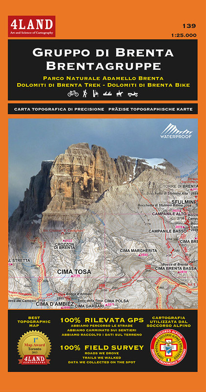
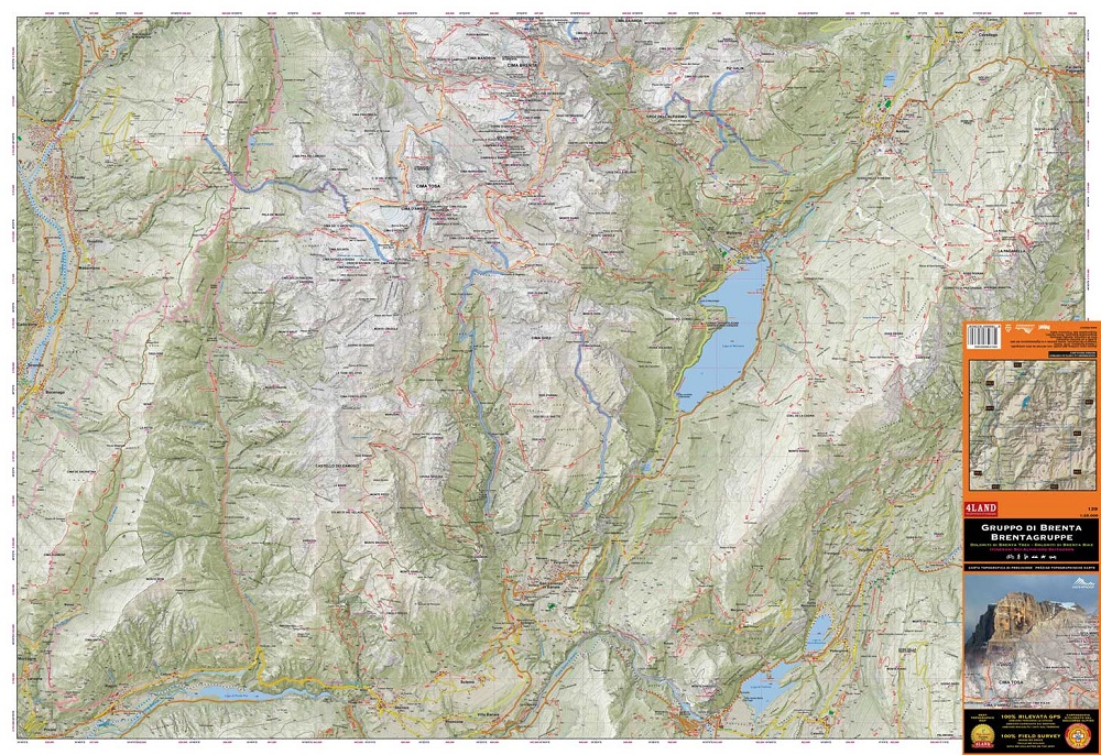
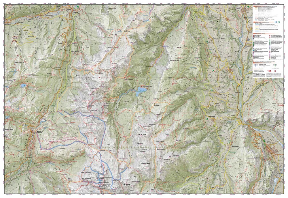
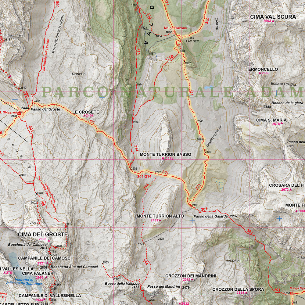
Il Gruppo di Brenta si sviluppa in senso nord-sud per circa 40 km, e ha una larghezza di una quindicina di km, per una superficie totale di circa 400 kmq. Il Brenta è il terreno ideale per i trekking a lunga percorrenza, anche avventurosi e di collegamento con il Garda trentino, per lo scialpinismo, la mountain bike e, ovviamente, l’arrampicata e l’alpinismo. Numerosi sono i rifugi e i bivacchi.


add to wish list
€ 11.40
instead of € 12.00
quantity
- 1 +
ship to :: Italia
Corriere espresso € 6.00
availability
available
add to cart