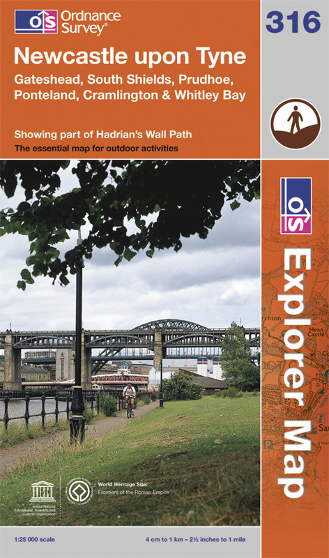
OS.EXP316 Newcastle upon Tyne, Gateshead, South Shields, Prudhoe, Ponteland, Cramlington & Whitley Bay
Map sheet 316 in the OS Explorer series covers the vibrant and bustling city of Newcastle-upon-Tyne and surrounding connurbations.
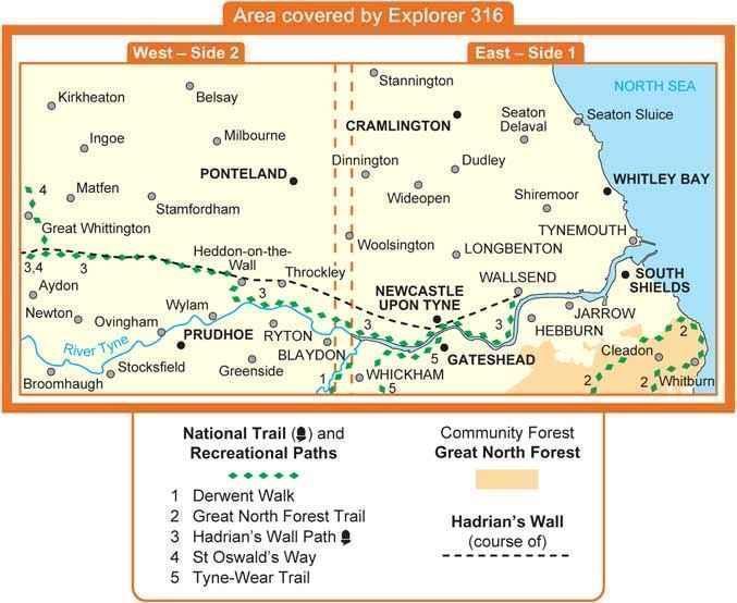
Highlights of the area include: the River Tyne, Tyne Valley, Wylam, Stocksfield, Heddon-on-the-Wall, the easterly section of Hadrian's Wall ending at Wallsend, Aydon Castle, Ponteland, Belsay, Tynemouth Priory, Whitley and the northern part of the Great North Forest.


