en
wishlist
login
mail

contact us

Cartography

Hiking maps, maps and atlases, cartography around the world. Maps of the trails, cartography for cyclotourism and mountain biking

Mountain

Alpine guides, hiking guides, technical manuals for summer and winter mountaineering. Mountain literature and filmography

Sea

Nautical manuals, nautical cartography, books and literature for sailboat and motor

Travels

Travel guides and travel literature for Italy, Europe and the rest of the world

Military

Collection of the best publications (books and DVDs) on the mountain war on the Alps and the rest of Italy and Europe
advanced search ricerca avanzata
back
OS.EXP315 Carlisle, Brampton, Longtown & Gretna Green
Ordnance Survey ( U.K. ) | OS Explorer Map | U.K. | 2010 | 13,5 x 24 | 1:25.000

OS.EXP315 Carlisle, Brampton, Longtown & Gretna Green

1:25.000

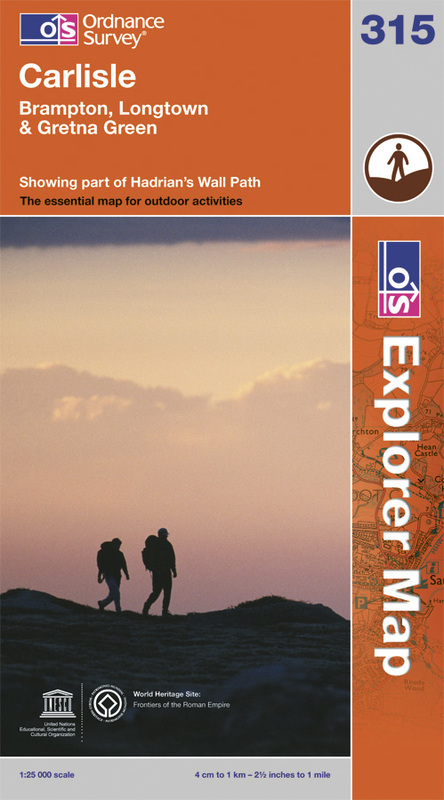
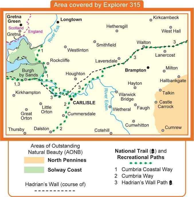
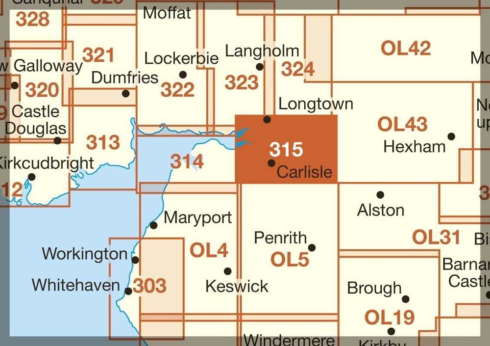
Taking in Dalston, Carlisle, Gretna Green and Longtown this map also covers part of the Solway Coast and North Pennines Areas of Outstanding Natural Beauty.
National Trails and Recreational
Paths covered are: Cumbrian coastal Way, Cumbria Way and Hadrian's Wall Path.
 
add to wish list
€ 12.00
quantity
- 1 +
ship to :: Italia
Corriere espresso € 5.50
availability
available
add to cart