en
wishlist
login
mail

contact us

Cartography

Hiking maps, maps and atlases, cartography around the world. Maps of the trails, cartography for cyclotourism and mountain biking

Mountain

Alpine guides, hiking guides, technical manuals for summer and winter mountaineering. Mountain literature and filmography

Sea

Nautical manuals, nautical cartography, books and literature for sailboat and motor

Travels

Travel guides and travel literature for Italy, Europe and the rest of the world

Military

Collection of the best publications (books and DVDs) on the mountain war on the Alps and the rest of Italy and Europe
back
3440ET Digne-Les-Bains / La Javie / Vallée de La Bléone
IGN Francia - Institut Géographique National | TOP 25 | Francia | GPS compatibile | 11 x 25 | 1:25.000

3440ET Digne-Les-Bains / La Javie / Vallée de La Bléone

GPS compatibile

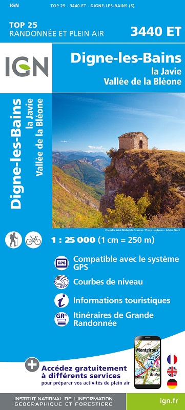
L'indispensable carte de randonnée IGN 3440ET. D'une très grande précision elle contient tous les détails existants sur le terrain : voies de communication jusqu'au moindre sentier, constructions jusqu'au hangar, bois, arbre isolé, rivière, source... Sans oublier la représentation du relief par des courbes de niveau. Les sentiers balisés et les informations touristiques sont également représentés.

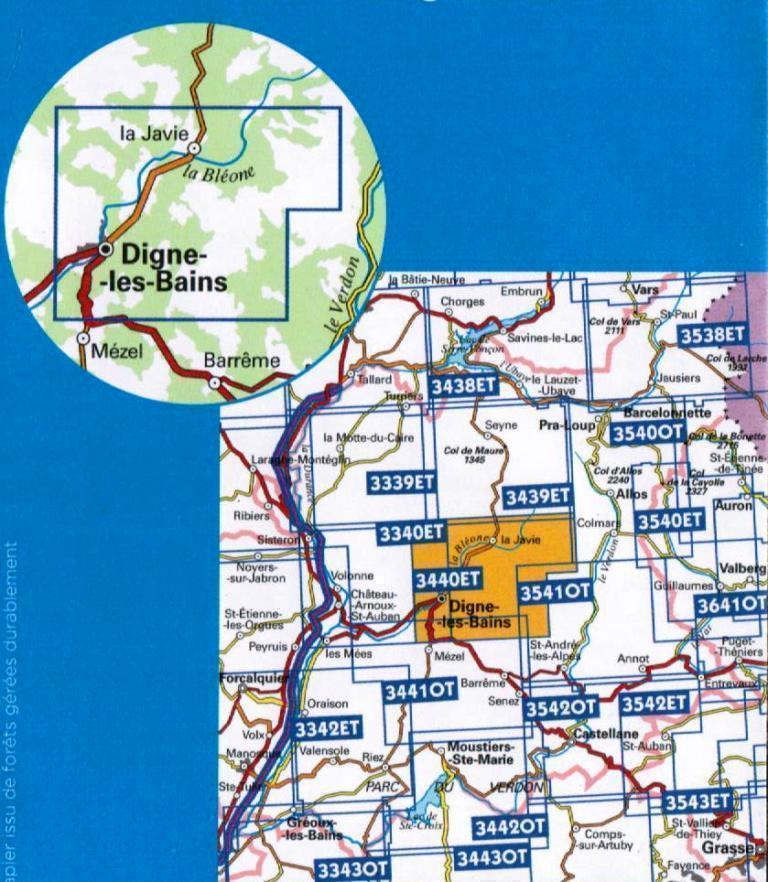
Communes couvertes : Marcoux, La Javie, La Robine-sur-Galabre, Archail, Tartonne, Draix, Clumanc, Le Brusquet, Entrages, Châteauredon, Lambruisse, Thorame-Basse, Prads-Haute-Bléone

Lieux à découvrir : Gorges du Verdon,,Forêt Domaniale de Cousson, Forêt Domaniale de l'Issole,le Mourre de Simance, Montagne de Maurel, Sommet de Denjuan, Mgne de Chamatte, Sommet du Cheval Blanc, Montagne de Coupe, Mgne de Cordeil, Barre des Dourbes, Mgne de Coste Longue, Clues de Barles


add to wish list
€ 15.50
quantity
- 1 +
ship to :: Italia
Corriere espresso € 6.00
availability
usually shipped within 15/30 days
add to cart