


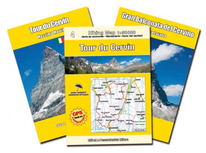

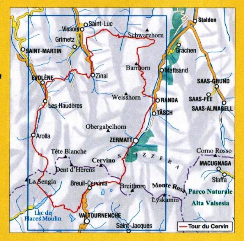
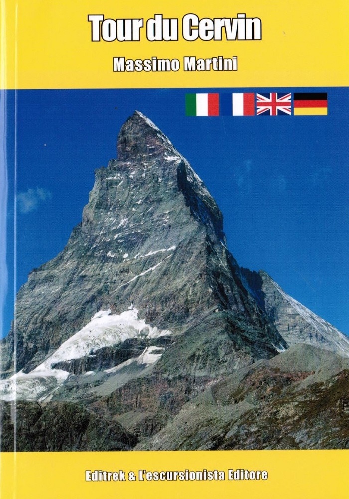
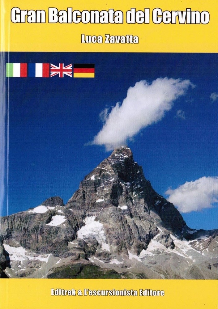
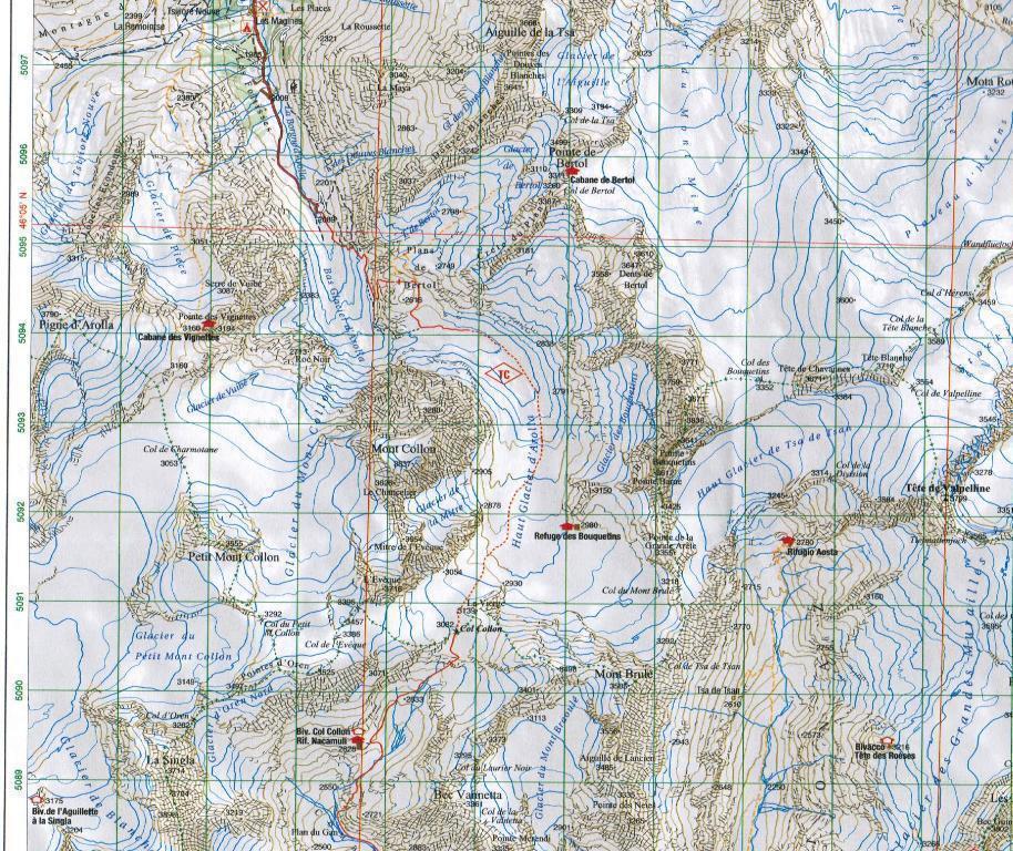
Il Tour du Cervin è nato ufficialmente nel 2002, ed è un percorso in 10 tappe, solitamente percorso in senso anti-orario attorno al Cervino. La partenza abituale è Randa, ma si può partire anche da Zinal od Arolla, sempre in Vallese o da Cervinia in Valle d'Aosta. il tour interessa sei valli, Mattertal, Turtmanntal, Val d'Anniviers, Val d'Hérens in Vallese, Valpelline e Valtournenche in Valle d'Aosta. La Gran Balconata del Cervino è un percorso circolare in 3 o 4 tappe in Valtournenche, tra villaggi e grandi panorami, che può partire sia da Antey-Saint-André, Cervinia o addirittura Émarése. Allegata una mappa stampata fronte e retro su carta resistente all’acqua con reticolo chilometrico. Tour du Mont Cervin in scala 1:50.000 e Gran Balconata del Cervino in scala 1:30.000. Percorso base e varianti del tour sono state rilevate con apparecchiatura GPS.
Carta + 2 guide
Testo in italiano, francese, inglese, tedesco