


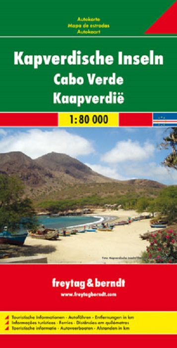
This recto / verso detailed road map of Cape Verde Islands is very suitable for planning and traveling around the country.
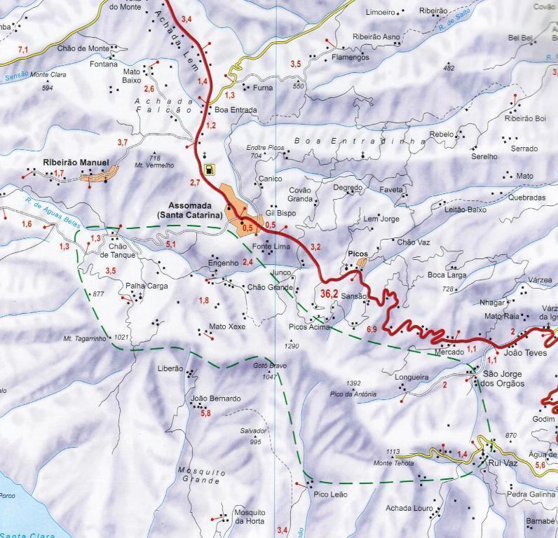
The road network is well represented, both the main roads, provincial and local roads. Road numbers are also clearly stated. Distances between places are marked on the map in kilometers, and gas stations are also marked in important places.
Shadow shows the relief and sometimes some points with the actual height. Province borders, national parks and reserves are easy to find. Symbols indicate the location of tourist sites, monuments, historically important places and viewpoints. In certain places you can find hotels and campsites, airports, train connections and ports.
Primary language: Deutsch
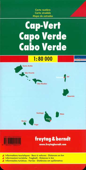
Oltre al design chiaro, la carta stradale delle Isole di Capo Verde 1:80.000 contiene molte informazioni aggiuntive come condizioni stradali, attrazioni e campeggi. L'ampio registro delle posizioni consente inoltre un rapido orientamento. Informazioni turistiche, traghetti, distanze in km, fronte-retro; Mappe delle isole: Santiago, Fogo, Brava, Maio, Santo Antão, São Nicolau, Sal, Boavista e São Vicente.