en
wishlist
login
mail

contact us

Cartography

Hiking maps, maps and atlases, cartography around the world. Maps of the trails, cartography for cyclotourism and mountain biking

Mountain

Alpine guides, hiking guides, technical manuals for summer and winter mountaineering. Mountain literature and filmography

Sea

Nautical manuals, nautical cartography, books and literature for sailboat and motor

Travels

Travel guides and travel literature for Italy, Europe and the rest of the world

Military

Collection of the best publications (books and DVDs) on the mountain war on the Alps and the rest of Italy and Europe
back
D4 - NOVISSIMA ET ACCURATISSIMA TOTIUS ITALIAE CORSICAE ET SARDINAE...
IGMI Istituto Geografico Militare Italiano | Stampe antiche Carte Generali Italia | Firenze | 1680 (circa) | 28 x 37 | 1:2.360.000 circa

D4 - NOVISSIMA ET ACCURATISSIMA TOTIUS ITALIAE CORSICAE ET SARDINAE...

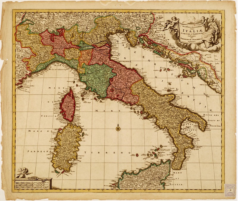
...DESCRIPTIO CORRECTA MUTIS AUCTA ET IN LUCEM EDITA PER F. DE WITT AMSTELODAMI CUM PRIV D. D. ORD. HOLLANDIE WESTFRISIAEQUE. Incisione in rame con confini politici colorati a mano. L'orografia ha valore semplicemente prospettico basata sul sistema a monticelli e non da alcun risalto ai principali sistemi. Migliore evidenza è data all'idrografia. La carta comprende a nord parte della "Germania" a ovest della "Gallia" a est la Dalmazia, a sud la Sicilia meno la estrema parte meridionale. Carta simile a quella al numero d'Ordine 16 Collez. Muller n. 7, File B0008371, ma con maggiore ricchezza nella toponomastica particolarmente lungo le coste.


add to wish list
€ 18.30
quantity
- 1 +
ship to :: Italia
Corriere espresso € 6.00
availability
usually shipped within 3/7 days
add to cart