en
wishlist
login
mail

contact us

Cartography

Hiking maps, maps and atlases, cartography around the world. Maps of the trails, cartography for cyclotourism and mountain biking

Mountain

Alpine guides, hiking guides, technical manuals for summer and winter mountaineering. Mountain literature and filmography

Sea

Nautical manuals, nautical cartography, books and literature for sailboat and motor

Travels

Travel guides and travel literature for Italy, Europe and the rest of the world

Military

Collection of the best publications (books and DVDs) on the mountain war on the Alps and the rest of Italy and Europe
back
Francia
Freytag & Berndt | Carte stradali / atlanti | Austria | 13 x 25,5 | 1:800.000

Francia

1:800.000

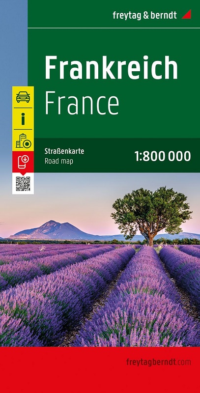
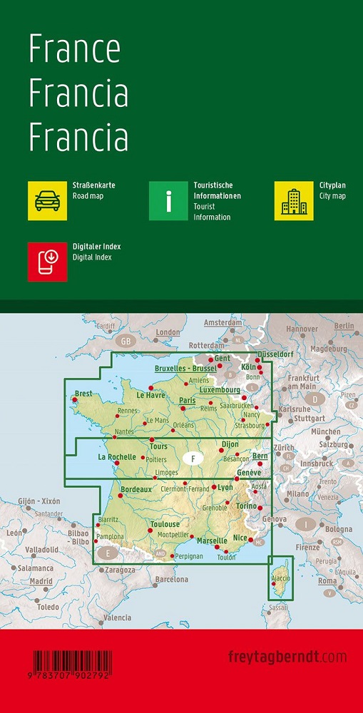
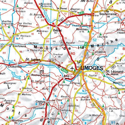
Scopri la Francia con questa mappa automobilistica dettagliata in scala 1:800.000 di Freytag & Berndt. La mappa stradale fronte-retro della Francia fornisce una chiara panoramica dell'intero paese, mostrando tutte le principali strade e autostrade, città, fiumi, laghi e catene montuose. La mappa è ideale per automobilisti, campeggiatori e motociclisti che desiderano esplorare la Francia da soli. La mappa dell'auto offre anche informazioni turistiche e un registro digitale della posizione con codici postali da scaricare, che ti aiuta a trovare rapidamente e facilmente la città o il comune che stai cercando.

Sprache:Deutsch, Englisch, Französisch, Italienisch, Niederländisch, Polnisch, Slowakisch, Spanisch, Tschechisch, Ungarisch


add to wish list
€ 12.90
quantity
- 1 +
ship to :: Italia
Corriere espresso € 6.00
availability
usually shipped within 15/30 days
add to cart