en
wishlist
login
mail

contact us

Cartography

Hiking maps, maps and atlases, cartography around the world. Maps of the trails, cartography for cyclotourism and mountain biking

Mountain

Alpine guides, hiking guides, technical manuals for summer and winter mountaineering. Mountain literature and filmography

Sea

Nautical manuals, nautical cartography, books and literature for sailboat and motor

Travels

Travel guides and travel literature for Italy, Europe and the rest of the world

Military

Collection of the best publications (books and DVDs) on the mountain war on the Alps and the rest of Italy and Europe
back
-5%
Italia Atlante stradale tascabile 1:500.000
Touring | Atlanti stradali | Milano | 05/2019 | pagine 184 | 14,7 x 23 | 1:500.000

Italia Atlante stradale tascabile 1:500.000

La confezione tascabile pratica a spirale lo rende uno strumento maneggevole e facile da consultare. Contiene informazioni essenziali per districarsi nella rete stradale, autostradale e ferroviaria del nostro Paese.

Legenda in 5 lingue anche per il turista straniero: italiano, inglese,tedesco, francese e spagnolo
92 pagine di cartografia stradale in scala 1:500 000 con ricca simbologia turistica
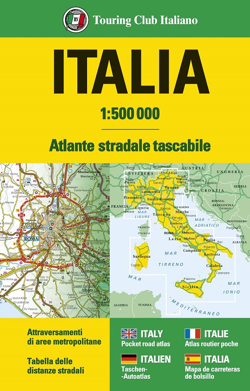
13 tavole di attraversamento di aree metropolitane in scala 1:125 000
6 pagine di informazioni per viaggiare
47 pagine di Indice dei nomi
Tabella delle distanze stradali chilometriche tra le principali località


add to wish list
€ 12.26
instead of € 12.90
quantity
- 1 +
ship to :: Italia
Corriere espresso € 6.00
availability
usually shipped within 5/10 days
add to cart