TerraQuest
|
Varsavia |
04/2024 |
plastificata |
11 x 23 |
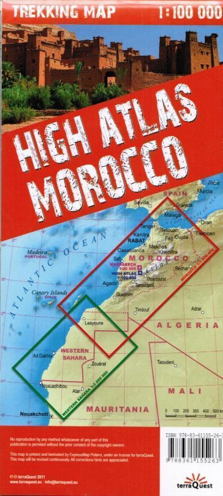
1:100.000 + 1:1.500.000
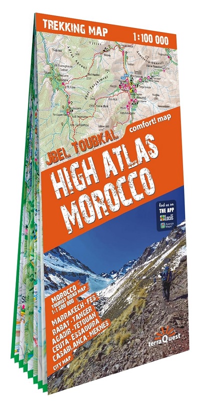
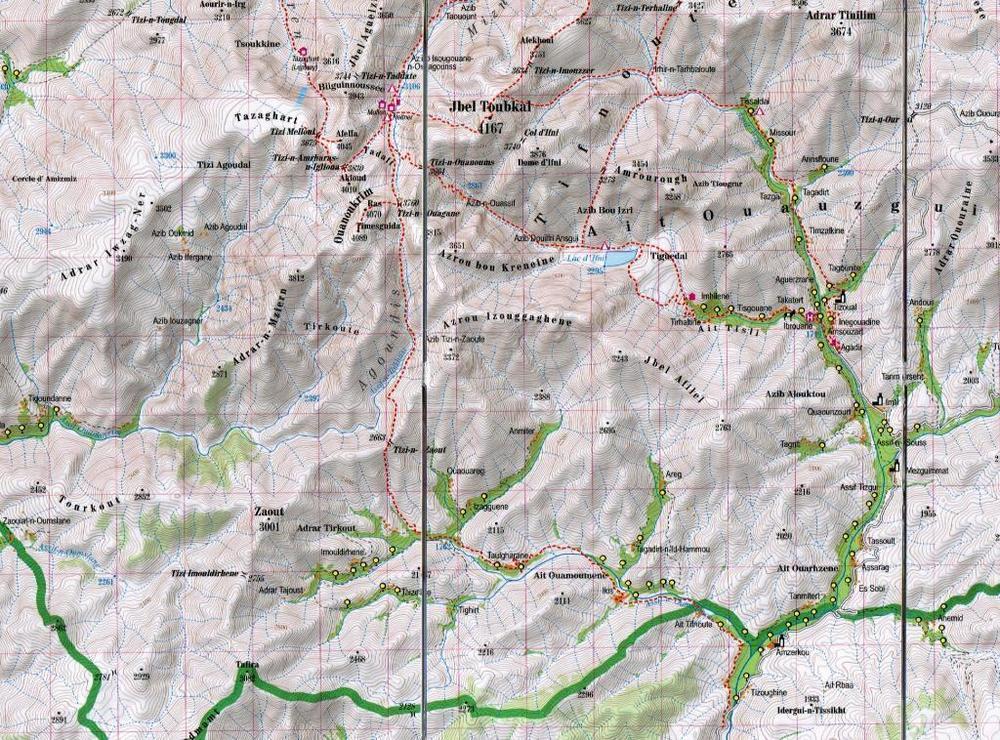
High Atlas Morocco - Jbel Toubkal
1:100.000
A series specially designed for lovers of large journeys and mountain walks.
A detailed scale and complete tourist information to help you plan your trekking. Thanks to the laminated surface and flex-folding, the Trekking maps of TerraQuest will guide you anywhere, even in the most extreme conditions. You can make your own notes on the maps and erase them without damaging the maps.
Important features:
• Lots of tourist information (trekking routes, touristic infrastructure, natural attractions and other interesting sites)
• Shaded relief gives a good image of the mountains
• GPS compatible, using the WGS84 system
• Legend in 6 languages: English, French, German, Spanish, Italian, Polish


