en
wishlist
login
mail

contact us

Cartography

Hiking maps, maps and atlases, cartography around the world. Maps of the trails, cartography for cyclotourism and mountain biking

Mountain

Alpine guides, hiking guides, technical manuals for summer and winter mountaineering. Mountain literature and filmography

Sea

Nautical manuals, nautical cartography, books and literature for sailboat and motor

Travels

Travel guides and travel literature for Italy, Europe and the rest of the world

Military

Collection of the best publications (books and DVDs) on the mountain war on the Alps and the rest of Italy and Europe
back
Alto Atlante Marocco - Jbel Toubkal
- High Atlas Morocco - Jbel Toubkal
TerraQuest | Varsavia | 04/2024 | plastificata | 11 x 23 | 1:100.000 + 1:1.500.000

Alto Atlante Marocco - Jbel Toubkal - High Atlas Morocco - Jbel Toubkal

1:100.000

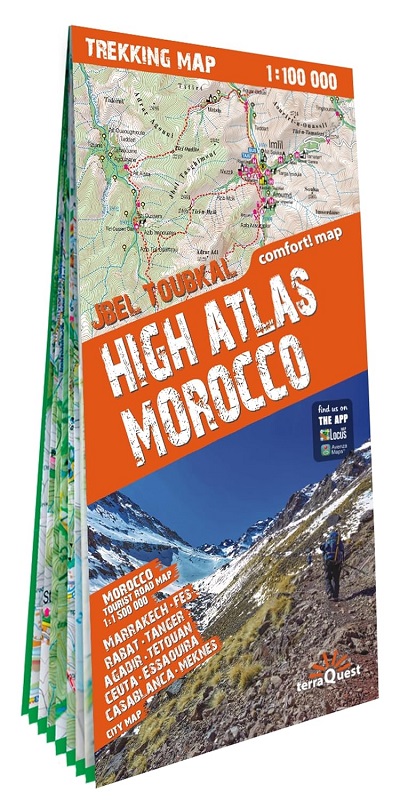
Una serie pensata appositamente per gli amanti dei grandi viaggi e delle escursioni in montagna.
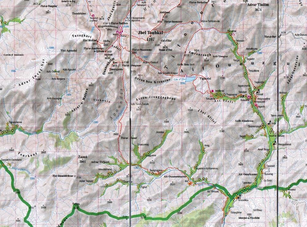
Una scala dettagliata e informazioni turistiche complete per aiutarti a pianificare il tuo trekking. Grazie alla superficie laminata e alla piegatura flessibile, le mappe Trekking di TerraQuest ti guideranno ovunque, anche nelle condizioni più estreme. Puoi prendere appunti sulle mappe e cancellarli senza danneggiarle.

Caratteristiche principali:
• Numerose informazioni turistiche (percorsi di trekking, infrastrutture turistiche, attrazioni naturali e altri siti di interesse)
• Il rilievo ombreggiato offre una buona immagine delle montagne
• Compatibile con GPS, utilizzando il sistema WGS84
• Legenda in 6 lingue: inglese, francese, tedesco, spagnolo, italiano, polacco

A series specially designed for lovers of large journeys and mountain walks.
A detailed scale and complete tourist information to help you plan your trekking. Thanks to the laminated surface and flex-folding, the Trekking maps of TerraQuest will guide you anywhere, even in the most extreme conditions. You can make your own notes on the maps and erase them without damaging the maps.
 
Important features:
Lots of tourist information (trekking routes, touristic infrastructure, natural attractions and other interesting sites)
Shaded relief gives a good image of the mountains
GPS compatible, using the WGS84 system
Legend in 6 languages: English, French, German, Spanish, Italian, Polish
add to wish list
€ 20.00
quantity
- 1 +
ship to :: Italia
Corriere espresso € 6.00
availability
usually shipped within 10/30 days
add to cart